
CHINYERO VOLCANO
Chinyero Volcano hike (spanish: Volcan Chinyero) is a unique adventure that takes you on a journey through the volcanic legacy of Tenerife. This trail holds significant historical and geological importance as it leads through landscapes shaped by the last volcanic eruption on the island in 1909. Read my guide for this stunning hike featuring some fascinating lava formations and the rich historical significance of the Chinyero area.
CHINYERO VOLCANO HIKE FACTS
Distance: The total distance for this hike was 14km for a loop trail.
Hike duration: This hike’s duration was 3h. Adding a snack break this hike should take no more than 4h.
Elevation gain: The total elevation gain for this hike was 356m.
Difficulty: This hike is easy. There aren’t any difficult sections or high drops and 14km didn’t feel like much on mostly flat surface.
Gear needed: Comfy shoes are a must as you’ll walk on pebbly trail as well as some lose rocks. Remember to bring layers, mainly against the wind. Sun protection is obviously a must. If you’re unsure on what else to bring for a hike, read this guide.
My strava upload can be found here: Chinyero Volcano hike
GPS route to follow on your watch or a smartphone: Chinyero Volcano hike GPS
GETTING TO CHINYERO VOLCANO HIKE
By car: You can leave your car at Arenas Negras car park located here. You’ll have to drive on a dirt forest road to get there but it’s accessible for all cars.
By bus: There aren’t any bus stops around the area so car is the only option here.
MY EXPERIENCE HIKING CHINYERO VOLCANO
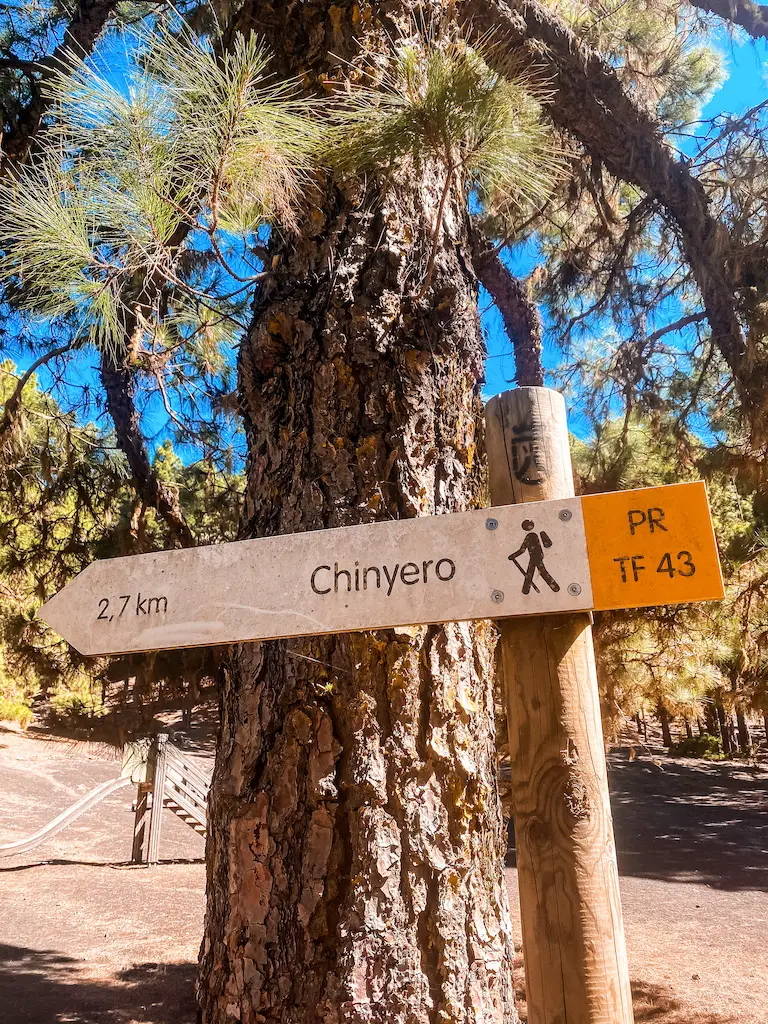
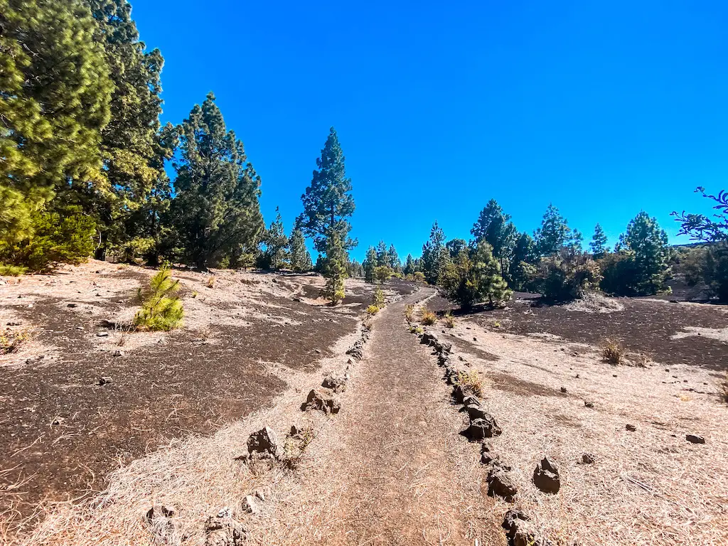
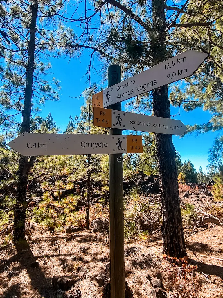
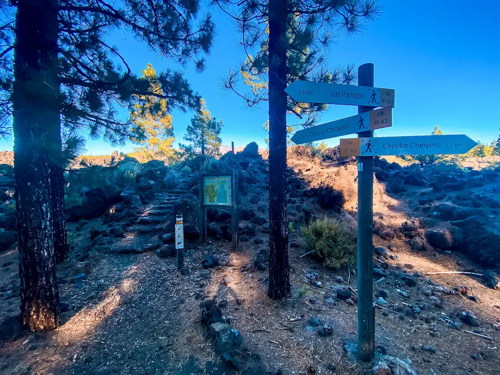
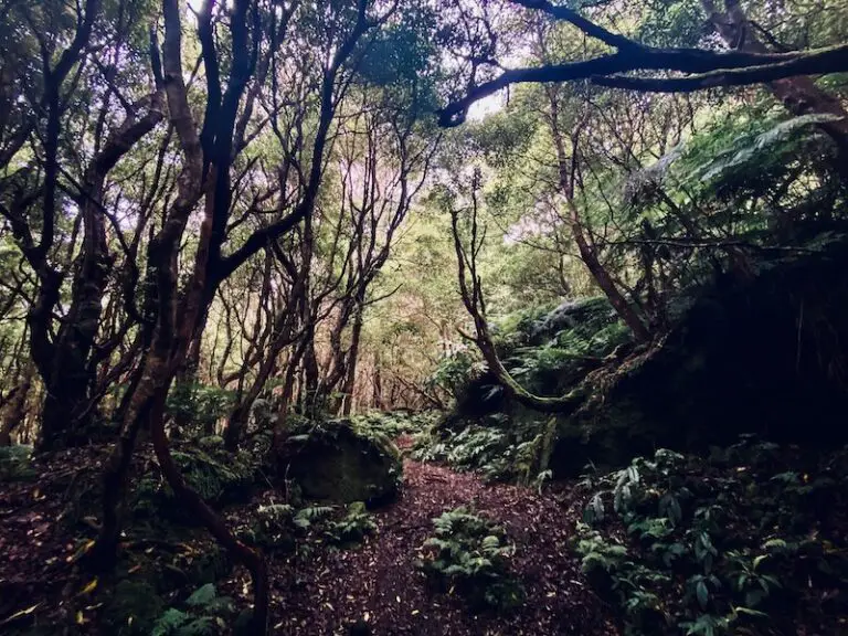
I hiked Chinyero Volcano with my friend that has never seen a volcano from that close. This unique adventure allowed us to explore the aftermath of the 1909 eruption of the Chinyero Volcano, the most recent volcanic event on the island of Tenerife. This hike (trail number: PR TF 43) starts at the Arenas Negras car park and goes along a forest path, ascending through a pine tree forest (smells so good!).
VOLCANIC LANDSCAPES
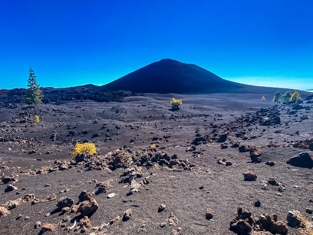
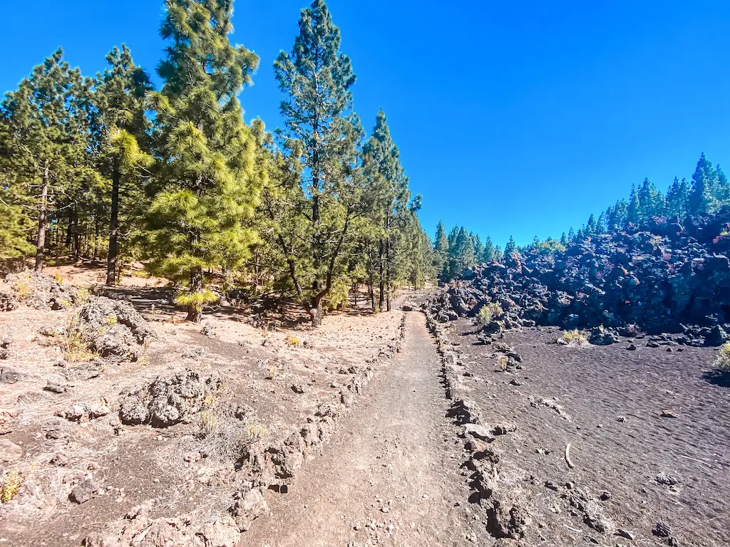
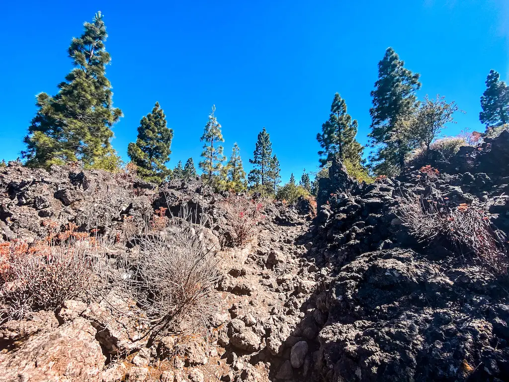
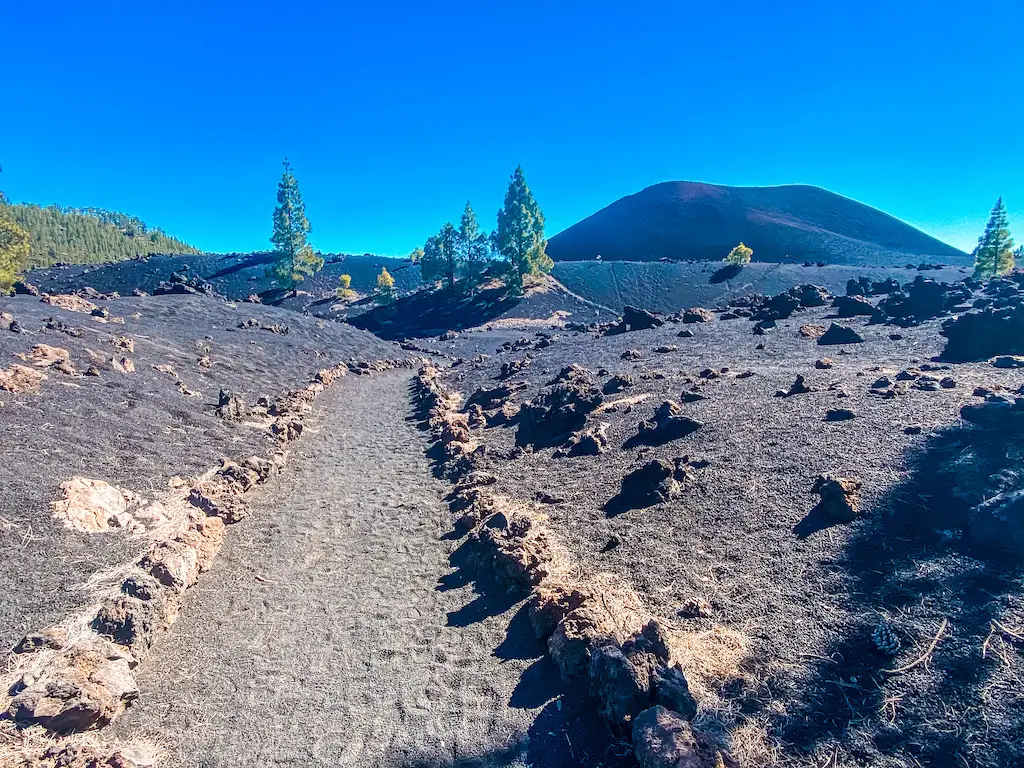
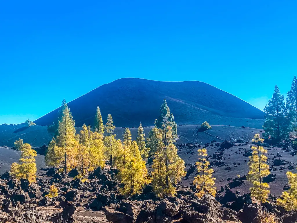
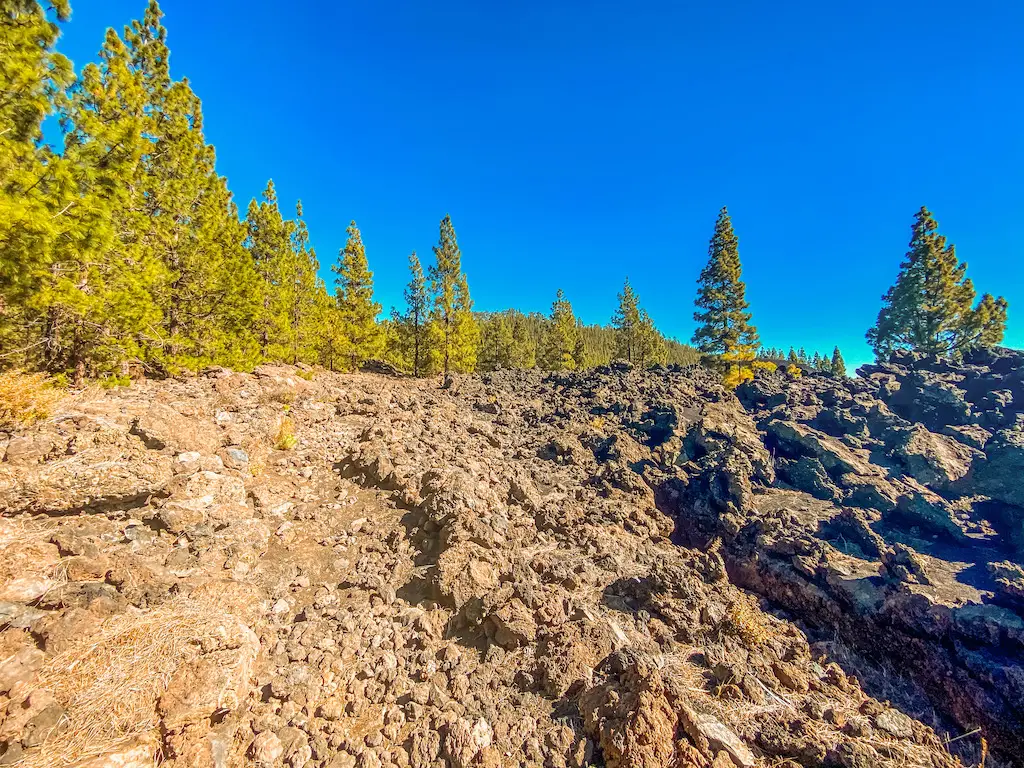
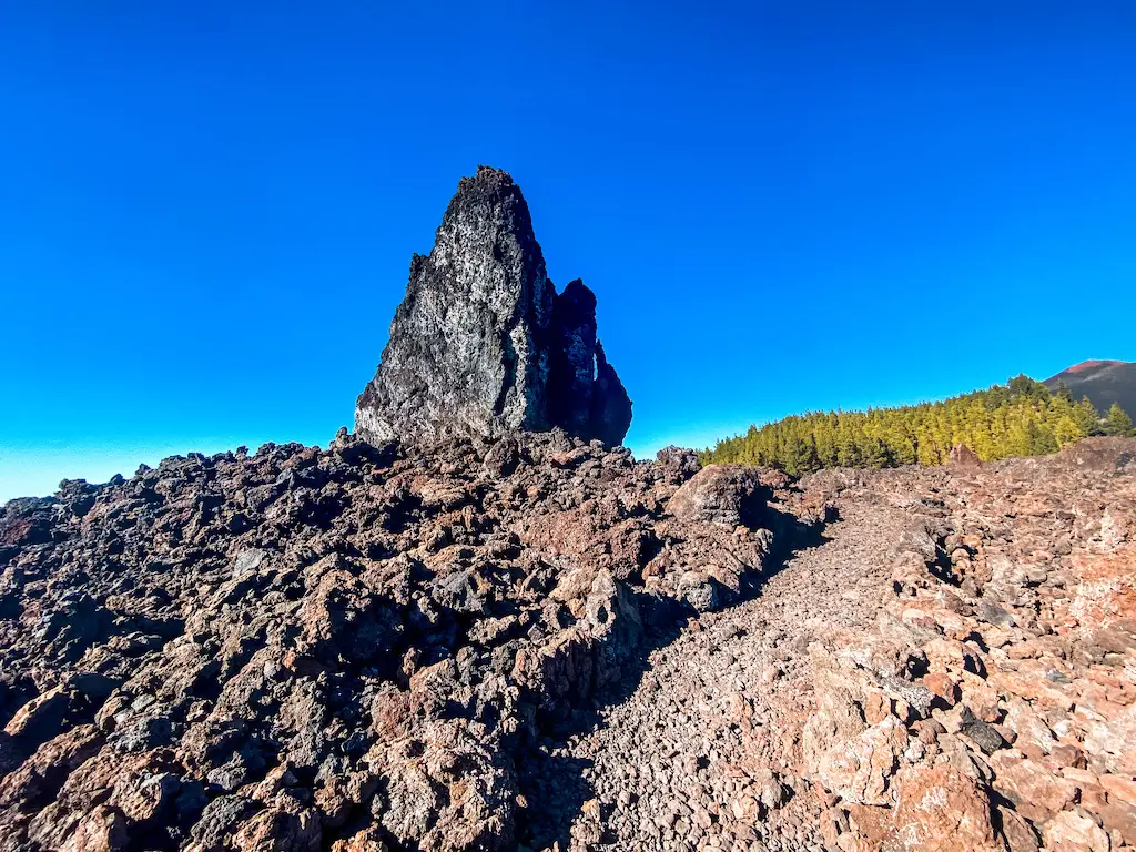
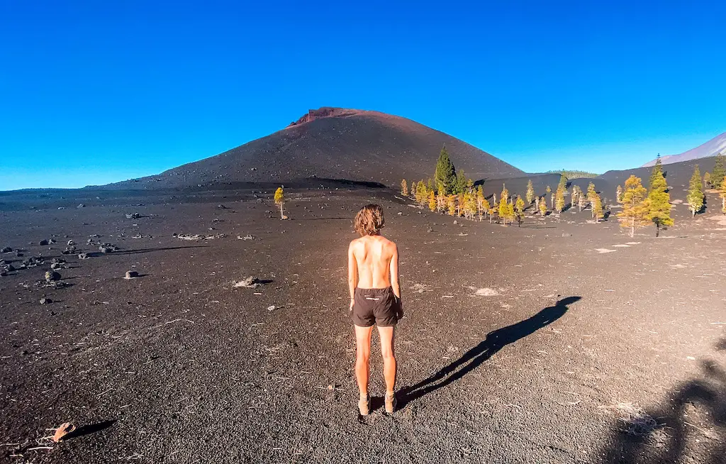
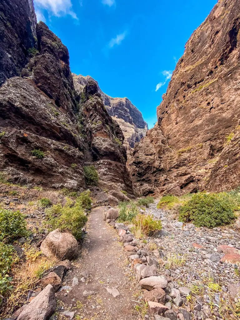
A few minutes later we found ourselves immersed in the captivating volcanic landscapes. This awesome path leads through black sand trails, and the ground beneath my feet transformed into hardened lava. The stark contrast between the dark volcanic rock and the surrounding vegetation was highlighting the raw beauty of this unique terrain.
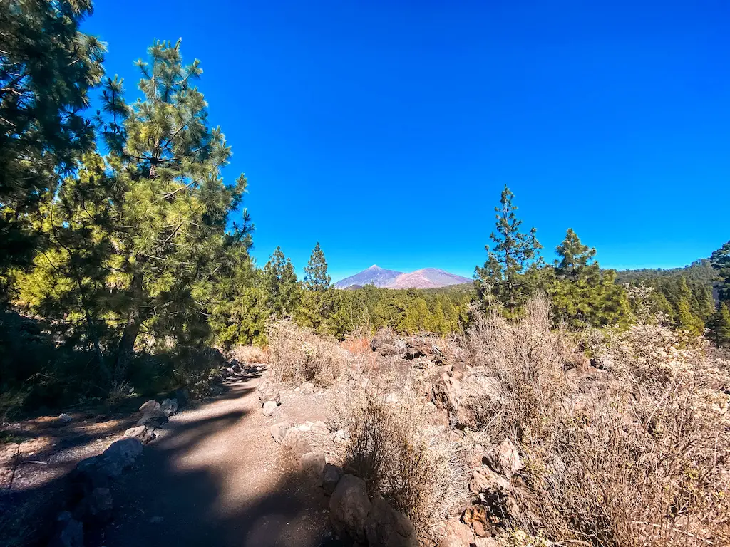
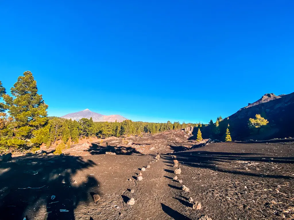
Continuing our journey, we reached a fork where we took left, drawing nearer to Montana de los Flores. At first we had some great views on Teide Volcano (3715m), if you haven’t climbed the highest point of Spain yet – check out my guide. With each step, the views of Chinyero Volcano unfolded before us. Walking on such ‘young’ lava is an unforgettable experience. PS you’ll have a similar experience at almost all hikes in Teide National Park area, and it’s equally awesome every time!
CIRCULAR WALK AND VIEWPOINT
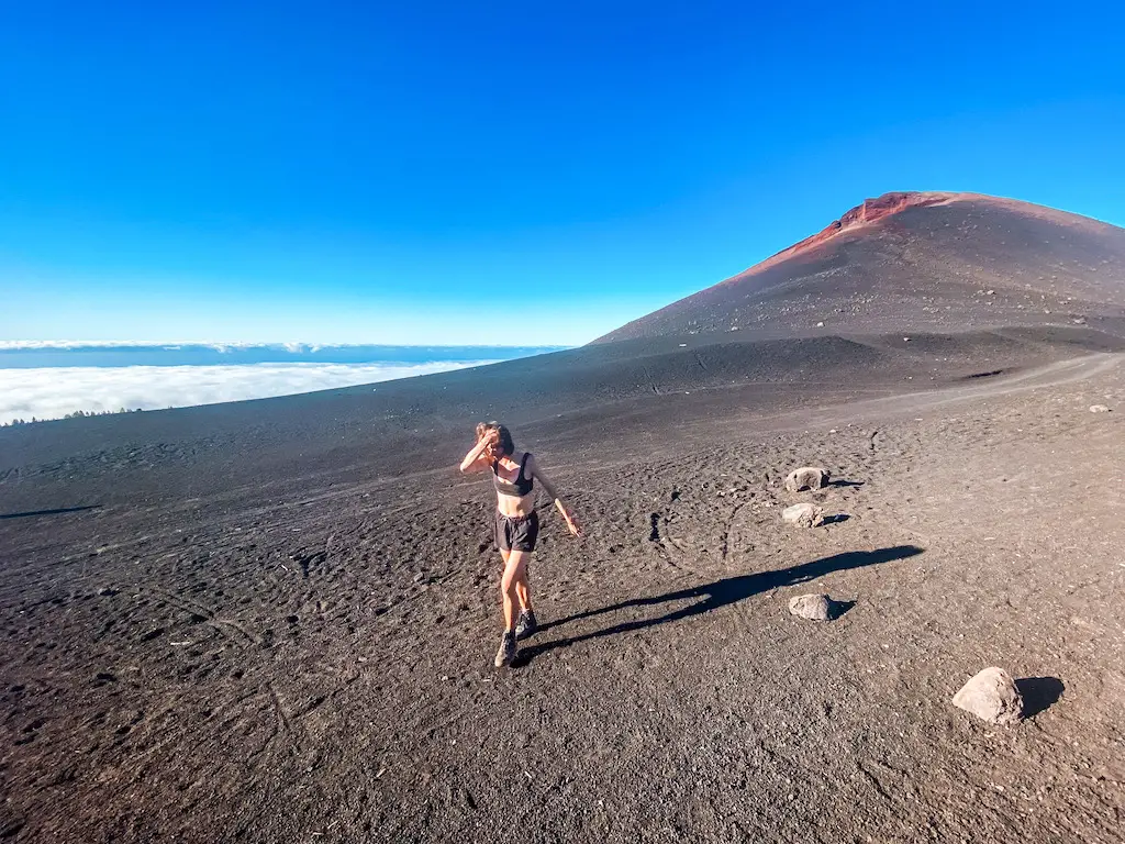
After completing our loop around Chinyero Volcano, we reach a fork where we made a left turn to embark on the next leg of our adventure. This path lead us to the other side of Montana Negra, another volcanic marvel in this area. As we encircle the mountain, we were gifted with completely different views and unique perspectives of the surrounding landscapes. This viewpoint was completely empty, we were lucky to have the views only for ourselves. I recommend doing this hike as late as possible, there’s usually less people on the trail.
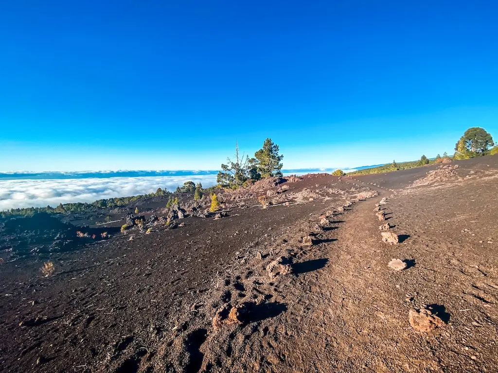
DESCENDING AND LAVA WALK ABOVE THE CLOUDS
Descending from the viewpoint can be spectacular. In our case, we found ourselves walking above the clouds, adding a touch of enchantment to this adventure. The experience of traversing the lava while surrounded by the ethereal beauty of the clouds creates a surreal moment. I sincerely hope you’ll be able to experience the same as it’s one of those hikes I still remember until today!
CONCLUSION
Hiking Chinyero Volcano is definitely an extraordinary experience. We mostly loved the diverse venture through pine tree forests, traversing black sand paths, and walking on hardened lava. Basically with each step, we were reminded of the historical significance of the 1909 eruption and the impact it had on the landscapes we can explore today.
HAVE YOU SEEN MY OTHER HIKING GUIDES FOR TENERIFE?
I lived and worked in Tenerife for three months, hiking nearly every day. I’ve explored over 70 trails to bring you an ultimate guide – highlighting the Top 30 Best Hikes in Tenerife. Each guide has a detailed description including the distance, difficulty, gear needed and everything else needed to complete the hike successfully. If you happen to notice any changes on the trail that should be updated – please drop the comment below so I can keep this guide up to date.
If you prefer easier hikes that can be completed under 3 hours, check out Top 12 Short Hikes in Tenerife guide.
If you enjoyed hiking in Teide National Park, check out my other guides for that area to get inspired for your next adventures: Paisaje Lunar – Moonlike landscape hike, Teide – ultimate guide on how to climb the highest point of Spain, Alto de Guajara – my favourite hike in Teide Park, Sombrero de Chasna – the coolest short hike in Tenerife.
Safe and happy hiking my friend!
Is it possible to go up the volcano, not only around it? Also, is it equalvent experience as to being up on La Teide or that something incomparable to this hike and a must if you go to Tenerife?
Hey Hristo! You can only go around Chinyero, but don’t worry! it’s still absolutely worth it! The experience is totally different from Teide. Up there, everything feels super tiny. On this trail though, if you’re lucky you might see clouds forming beneath the volcanic ash, which for me felt like a one of a kind experience. If you have the chance, I’d say do both. Teide is a must, but Chinyero has its own magic and whenever I´m back to Tenerife, I’m gonna head there again. Hope u will enjoy your time on this lovely island!