CAMINO DE CANDELARIA SOUTH
Camino de Candelaria trail has a very rich history, dating back to the early settlers of the region who used it as a way to travel and trade between the various villages. Despite its historical roots, this trail remains relevant today, still attracting tourist hikers throughout the year. While the sections leading up to the Mirador La Crucita are relatively accessible, they demand a remarkable ascent of approximately 1000m from Aguamansa in the north and a staggering 1600m from Arafo in the south. This guide is for the more challenging hike, starting in the town of Arafo.
CAMINO DE CANDELARIA SOUTH
STRAVA UPLOAD HEREDistance: The total distance for this hike was 18,5km out and back.
Hike duration: It took us 5,5h to complete this hike (very quick pace). Adding a few breaks this hike shouldn’t take more than 7-8h.
Elevation gain: The total elevation gain for this hike was 1553m.
Difficulty: This hike is moderately hard. Although there aren’t any technical sections or high drops on this trail, the total distance and over 1,5km of elevation gain should not be underestimated. You need a good level of fitness to complete this hike.
Gear needed: I recommend bringing at least 2l of water, light clothing and a wind breaker at least. Shoes with proper grip are a must as the trail is full of pebbles and can get slippery especially when wearing running shoes with flat soles. If you’re unsure on what else to bring for a hike, read this guide.
My Strava map upload + GPS file: CANDELARIA II: ARAFO – MONTANA LA CRUCITA
GETTING TO CAMINO DE CANDELARIA SOUTH
By car: We tried driving all the way up to trailhead but we didn’t find any suitable spot so it’s probably best to park around the centre of Arafo.
By bus: Any bus that will get you to Arafo.
MY EXPERIENCE HIKING CAMINO DE CANDELARIA SOUTH
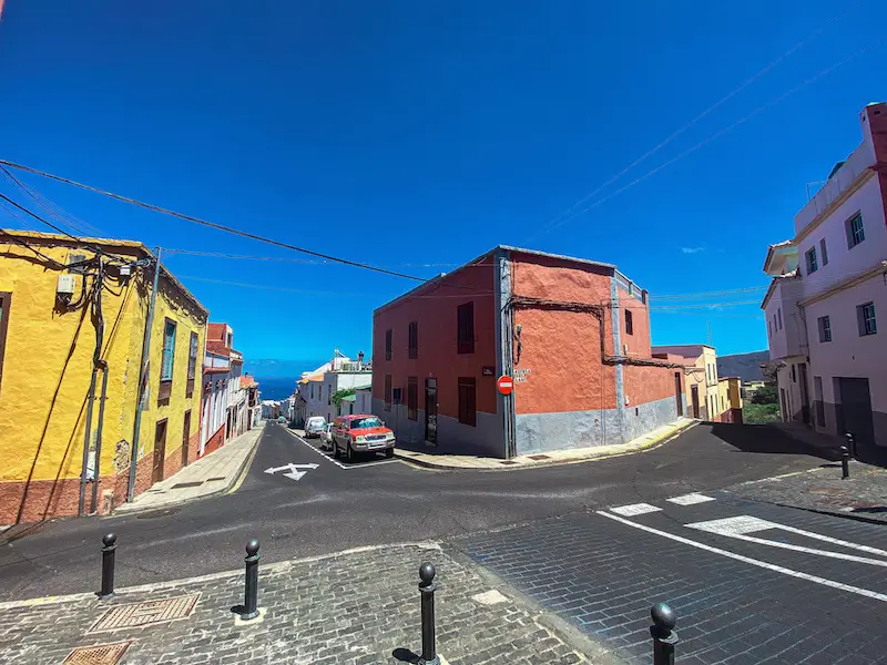
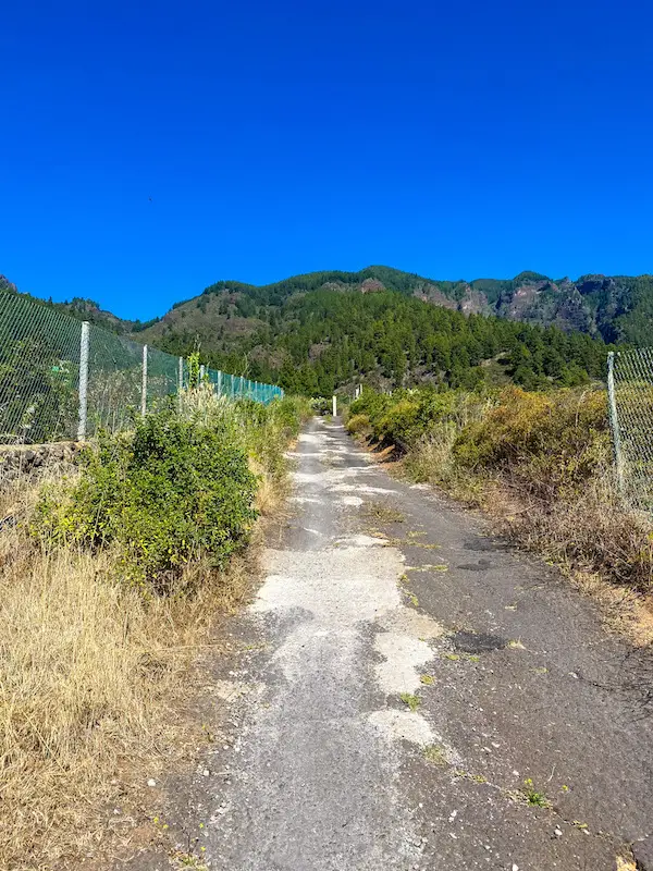
The trailhead for this hike is located above the town of Arafo which means that first part of this route (around 1,5km) goes along narrow roads that connect houses built on the hill with the town. It is quite a steep hike from the very beginning so it’s best to take it slow. I hiked Camino de Candelaria South on the very clear day and believe me when I say that the sun is the biggest enemy for this climb 😅
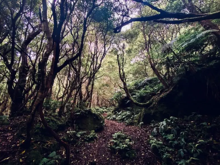
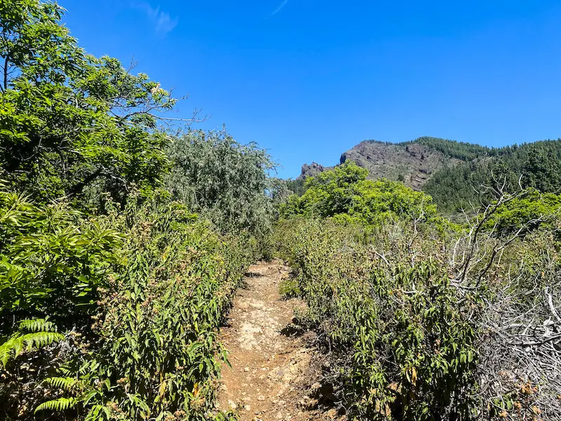
Once making it to the trailhead, the next section of around 3 kilometres goes along a bush and a forest.
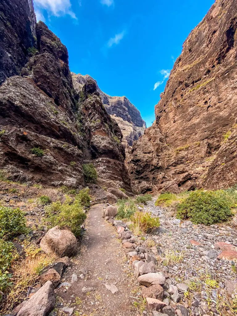
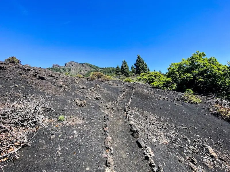
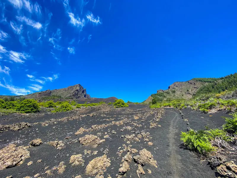
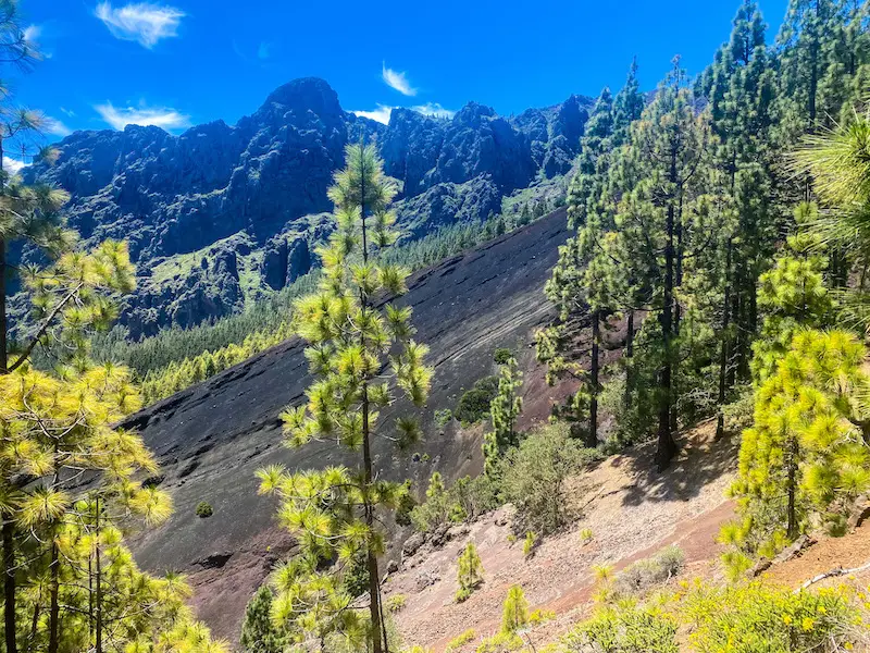
WALKING ON LAVA
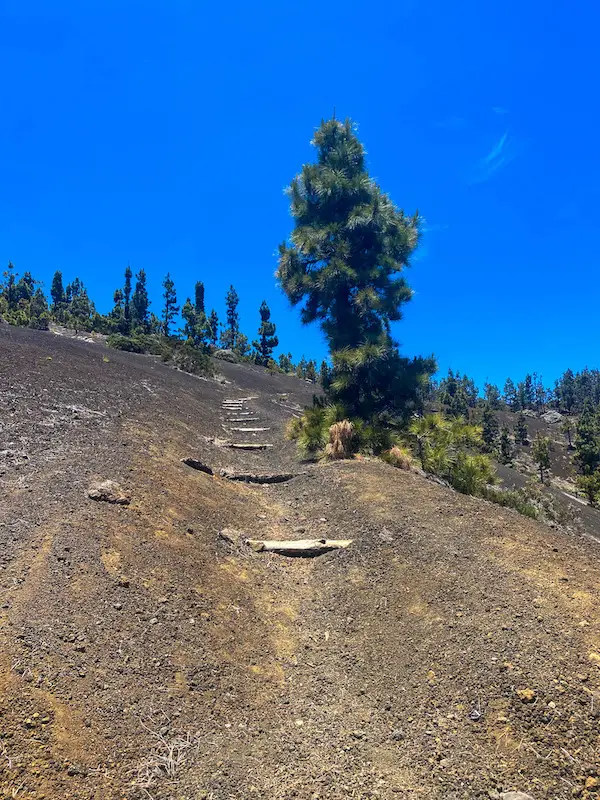
Here’s where the real fun begins! After climbing through the forest, the scenery changed drastically as we were making our way up towards Volcan de Arafo, that lays at the elevation of 1584m. From this point, we were walking mostly on old lava fields. (If you like this kind of scenery, check out Mirador de Samara Lava Hike and Chinyero Volcano Hike). This part of the trek is long and we were constantly exposed to the sun. Don’t forget bringing enough water!
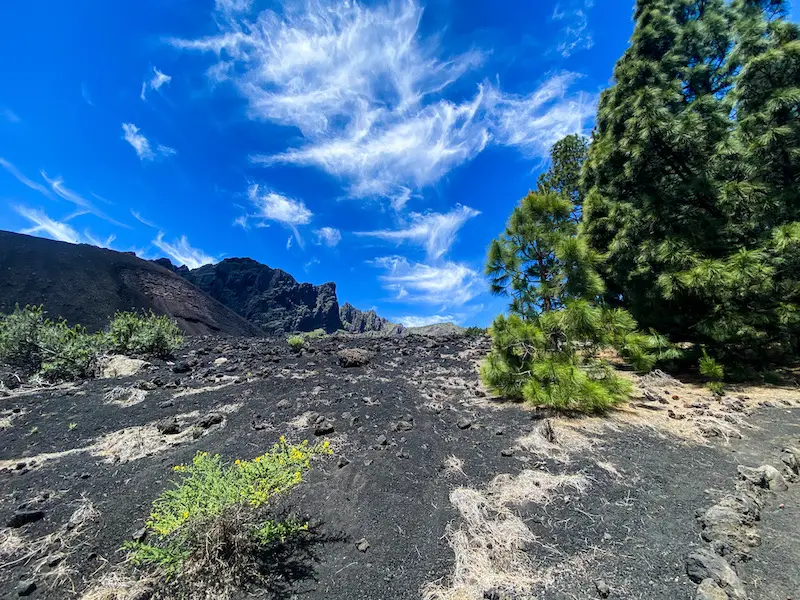
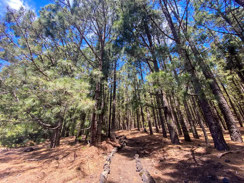
FINDING SHADE IN THE FOREST
Seeing the trees close by felt like a blessing. That pretty much indicated that we were about half-way through. The next section of this adventure was a bit easier. We continued our journey, making our way up through a beautiful pine tree forest that provided us enough shade to avoid being completely roasted on the sun. By the way – Tenerife is quite famous for Pine Tree forests, you can find them around the whole island. If you’d like to explore more of it – hike up Montana de Limon (2106m), that trail is all about Pine Trees.
FINAL SECTION
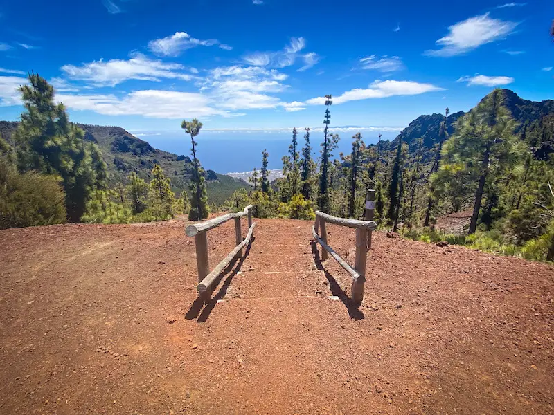
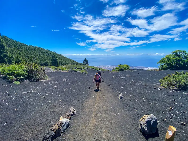
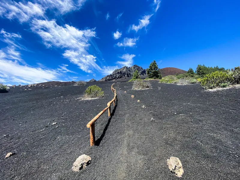
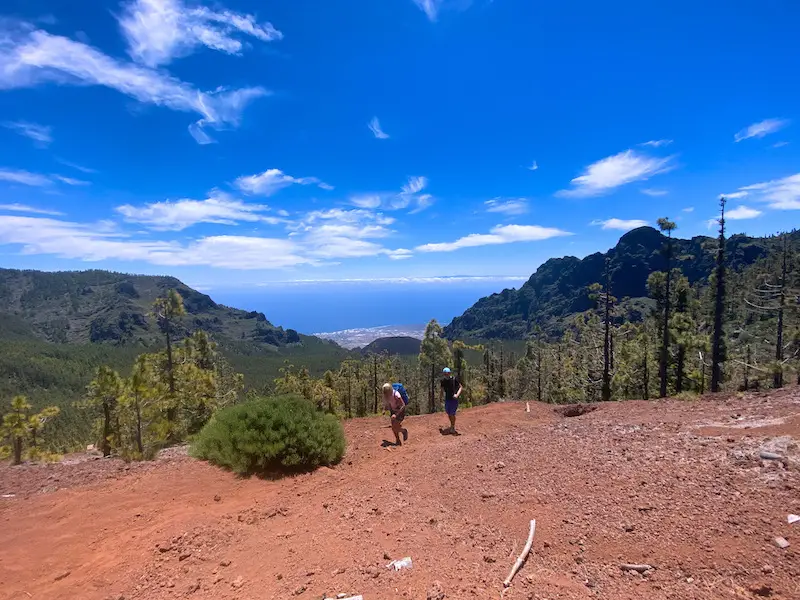
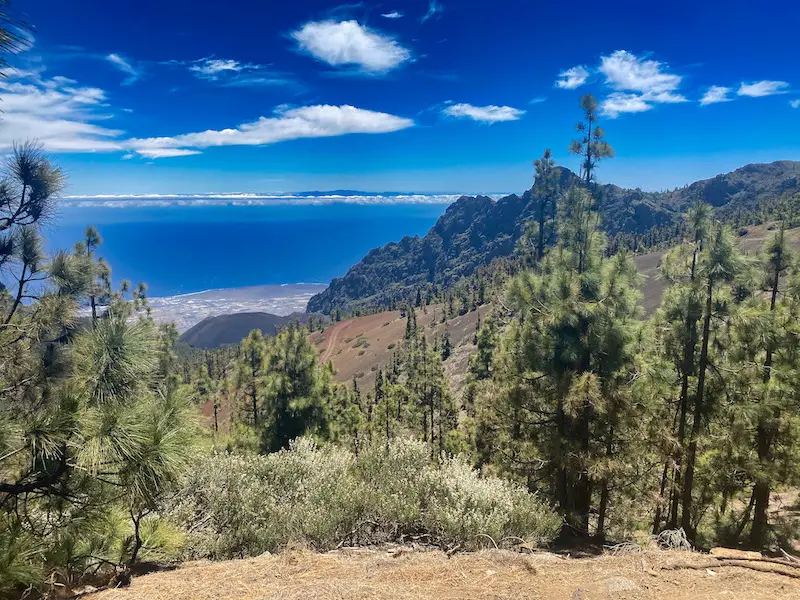
It took us around two hours getting above the tree line of that forest. Arriving to a mars-like scenery, we found ourselves walking on the lava again. This time the ground was red, pebbly and quite slippery. Here’s where we could see some nice views of La Gomera Island. Such luck!
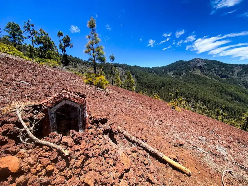
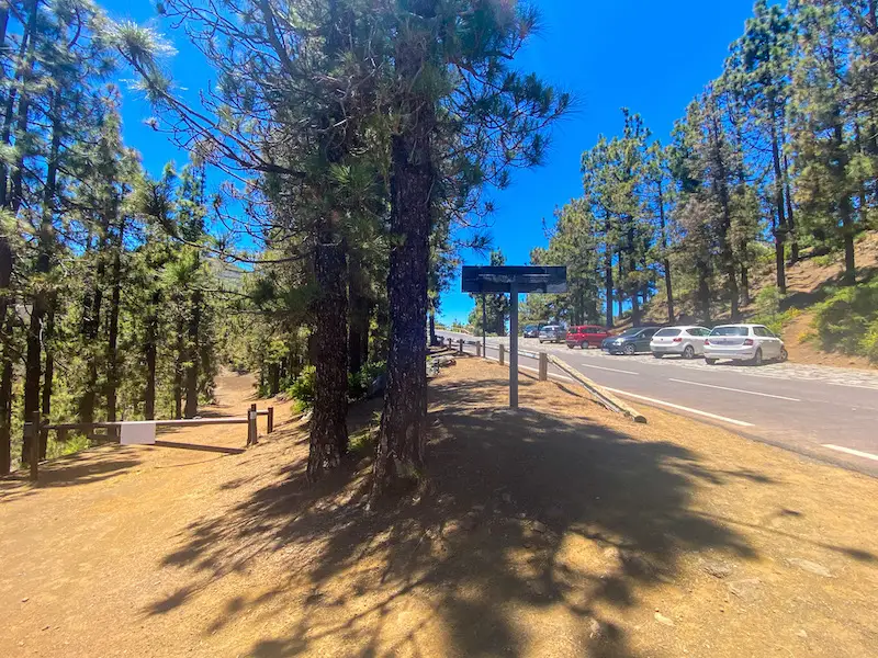
After passing by this little and forgotten shrine, the scenery changed again and we were walking on a black sanded path. After about 15 minutes, we made it to the Mirador de Crucita. This viewing point isn’t very quiet since it’s possible to get there by car, but we still managed to find a cute spot to sit down, have a drink and enjoy our pre-packed lunch while appreciating the views down below. 1600m of elevation gained made us really, really proud!
Since this was an out and back kind of a trial, we basically retracted our steps and returned to the starting point after around 30 minutes spent on the top. If you’re a trail runner like me, it’s a nice trail to run down as long as you have good shoes with proper grip. The trail is full of pebbles and when dry, it gets extremely slippery.
CONCLUSION
Camino de Candelaria from the South is an awesome hike for everyone who likes physical challenges. This is a demanding climb through the mixed terrain yet very, very rewarding. The views from the Mirador de la Crucita are truly fantastic! Don’t forget to tackle Camino de Candelaria North to complete the whole pilgrim route. I hope you enjoyed reading this guide and will have a lot of fun hiking Camino de Candelaria South as much as we did.
PS If you enjoy challenging hikes, here are couple of recommendations: Sendero de Baracan – a nice route in Teno Mountains, Punta del Hidalgo/Chinamada/Batan – an old linen trail, my personal favourite in Tenerife, Epic Los Gigantes hardcore trail and these two giants: Teide & Pico Viejo.
HAVE YOU SEEN MY OTHER HIKING GUIDES FOR TENERIFE
I lived and worked in Tenerife for three months, hiking nearly every day. I’ve explored over 70 trails to bring you an ultimate guide – highlighting the Top 30 Best Hikes in Tenerife. Each guide has a detailed description including the distance, difficulty, gear needed and everything else needed to complete the hike successfully. If you happen to notice any changes on the trail that should be updated – please drop the comment below so I can keep this guide up to date.
If you prefer easier hikes that can be completed under 3 hours, check out Top 12 Short Hikes in Tenerife guide.
Safe and happy hiking my friend!