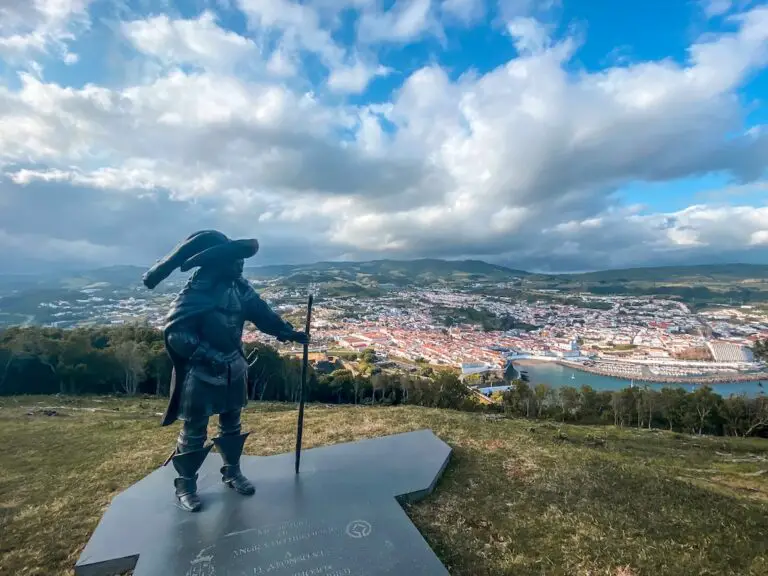
GRAND FARO DE ANAGA
Welcome to Grand Faro de Anaga. Starting in the beautiful village of Chamorga in Anaga Rural Park this hike offers spectacular views of Northern coast of Tenerife. This loop trail will take you through couple of landmarks such as El Draguillo village, Roques de Anaga, and the Faro de Anaga – the famous lighthouse. There is a reason why Grand Faro de Anaga is so popular, in my personal view it is one of the top hikes on the island that should not be missed.
GRAND FARO DE ANAGA FACTS
Distance: The total distance for this hike was 14km for a loop trail.
Hike duration: This hike’s duration was around 4h. Adding a lunch or swim break (there’s a beach on the way) you might want to reserve at least 4-6h for the whole adventure.
Elevation gain: The total elevation gain for this hike was 1007m.
Difficulty: This hike is moderate. Difficulty will of course depend on your experience and fitness level. The reason behind rating this one as moderate is the distance and 1km of elevation gain might be challenging, especially at the very end where you have to climb your way up back to the starting point.
Gear needed: Although Tenerife is warm all year round, you should always remember to check the weather forecast. Try to avoid doing this hike during or right after rain as the trail might get extremely slippery. Make sure to bring a waterproof jacket, enough water, some snacks and sun cream. I was pretty much fine wearing running shorts and a t-shirt for the entire time but there were some parts where the wind was strong so having that extra layer in your bag can be really useful. If you’re unclear on what to bring for a hike – read this article.
My Strava map + gpx file can be found here: GRAND FARO DE ANAGA
GETTING TO GRAND FARO DE ANAGA
By car: Chamorga is located at the end of TF-123 road which makes it impossible to miss. Driving distance from La Laguna or Santa Cruz might seem short, but due to the crazy road your journey will take at least 1 hour. There’s a limited number of parking spaces, the earlier you arrive the higher the chance of finding a place. I arrived around 9AM and there were still a few spots left.
By bus: Titsa bus line no 947 is the only way to get there by public transport. Departure takes place in Santa Cruz de Tenerife. You can check the current schedules here: https://www.titsa.com/index.php/en/
MY EXPRIENCE HIKING GRAND FARO DE ANAGA
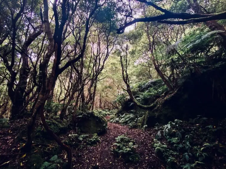
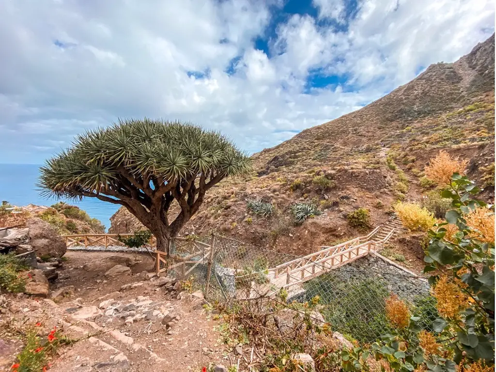
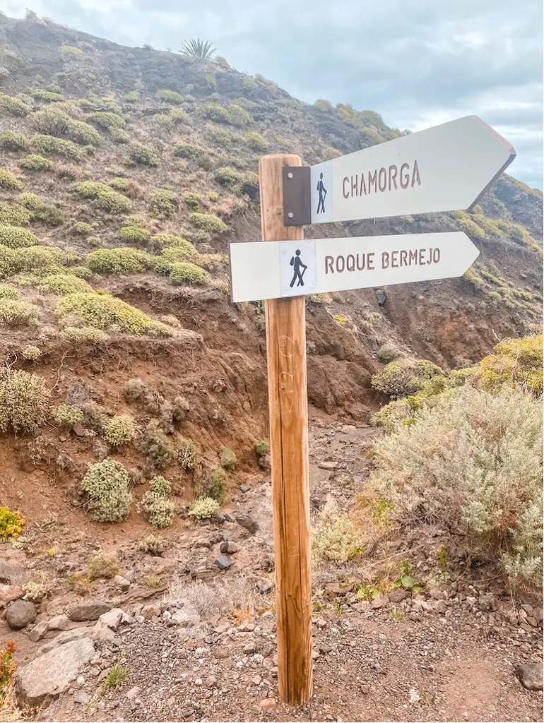
The adventure begins in the Chamorga village and the trail is well marked. It starts in a tropical forest where you’ll hear the sound of singing birds. After a few minutes I started hiking through the forest and came across the first signpost.
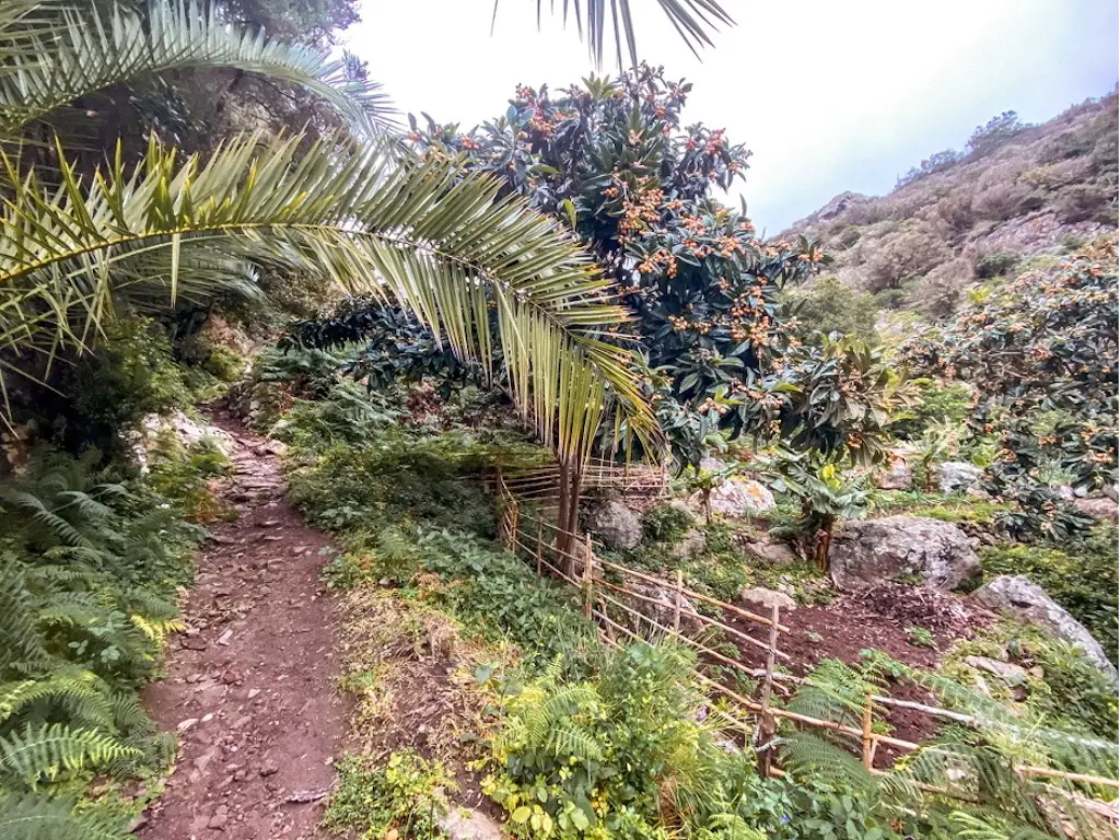
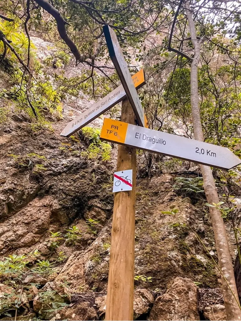
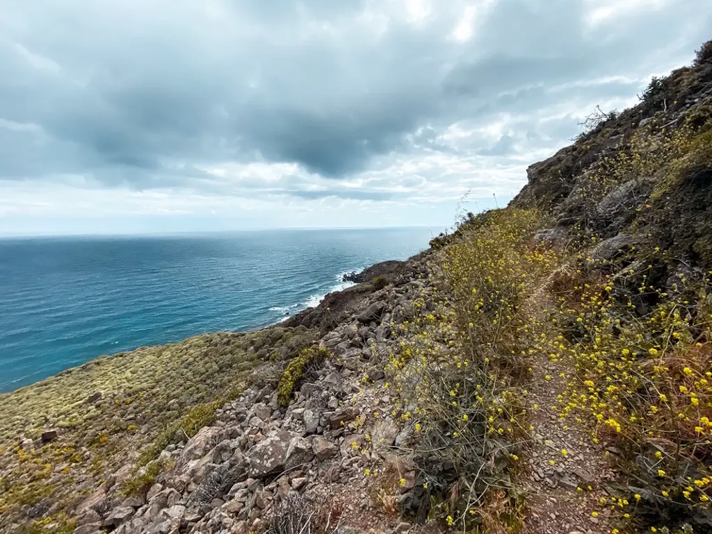
The trail from Chamorga to El Draguillo is a relaxing descent through the forest. After a while, some first sights of the Atlantic Ocean came into view. This part of the hike is quite pleasant and after a few hundred meters, I reached a sign indicating that El Draguillo village is only 1km away.
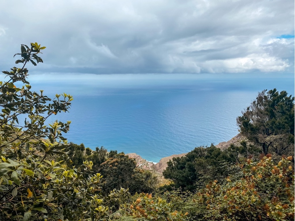
first views on atlantic ocean
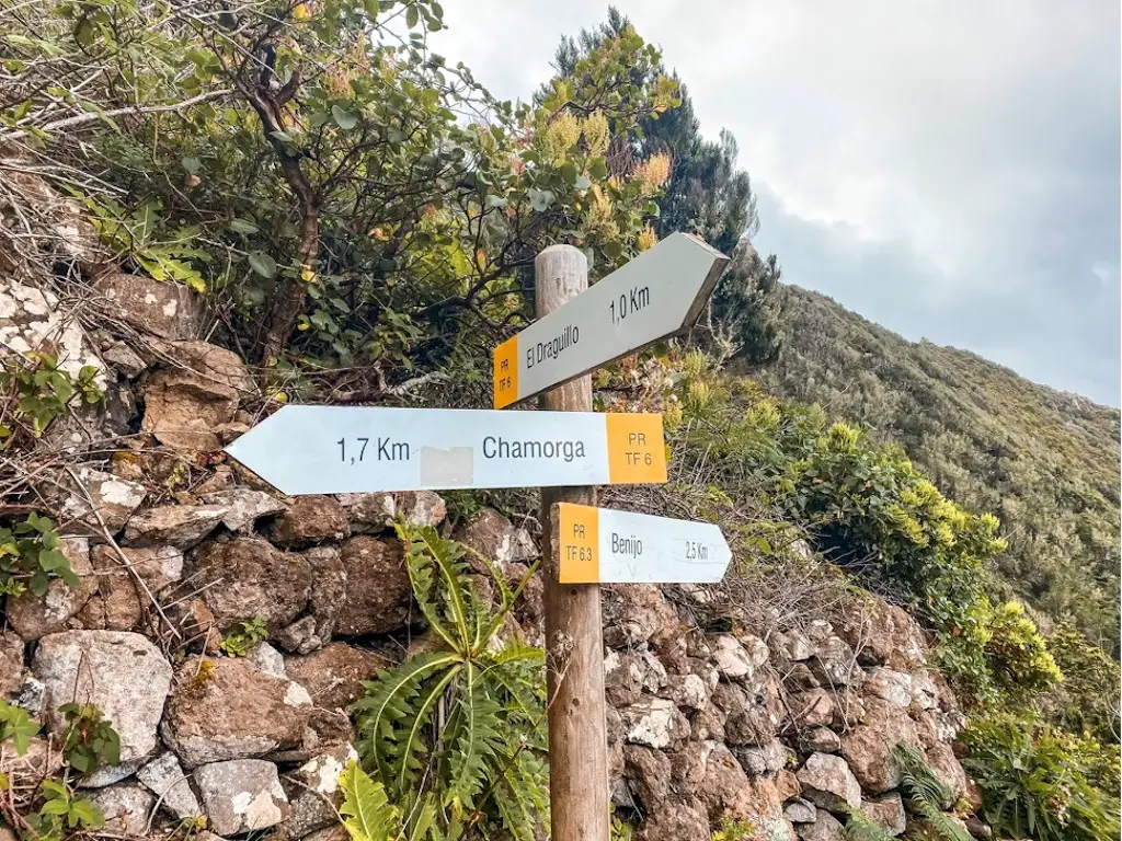
When I reached the village of El Draguillo, I was surprised by how small it was. There were only a few houses and I could hear someone whistling while doing some gardening, but that was it. There wasn’t a single soul in sight. It’s probably the smallest village I’ve ever seen. The trail continues from the village and leads to the Faro de Anaga lighthouse.
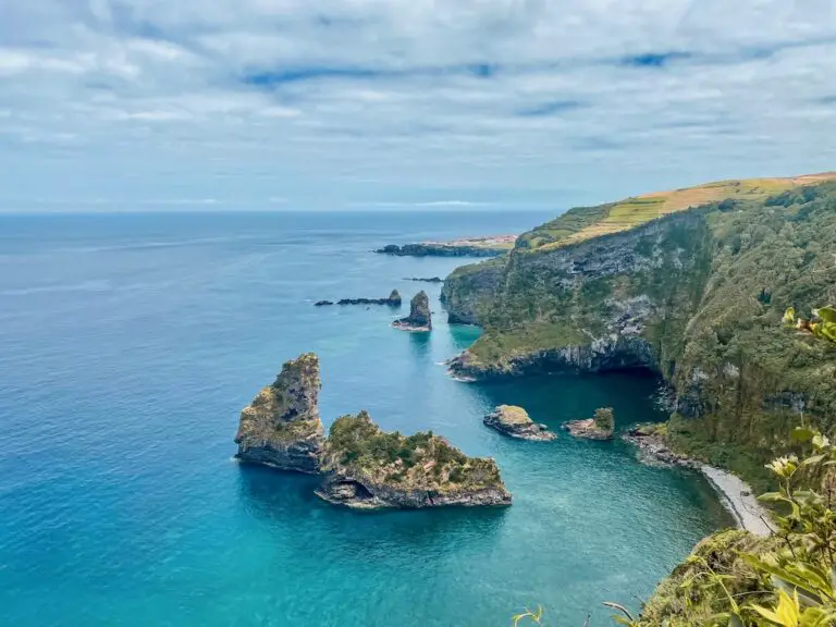
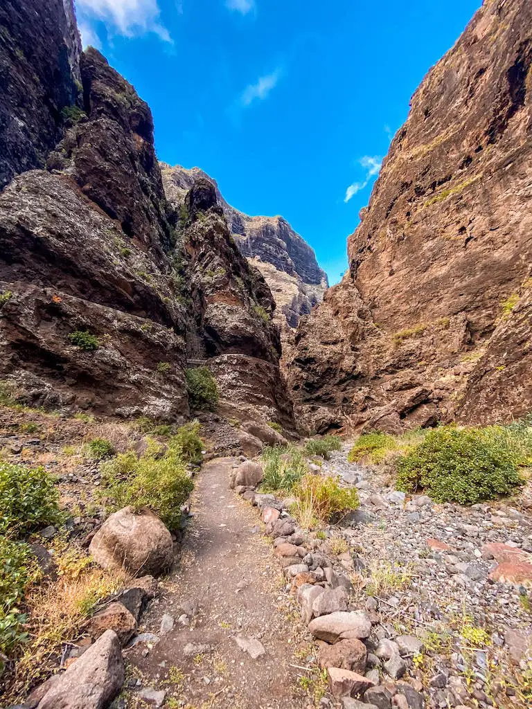
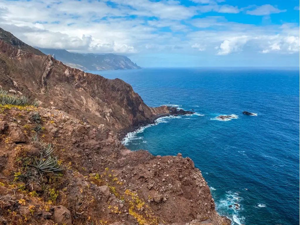
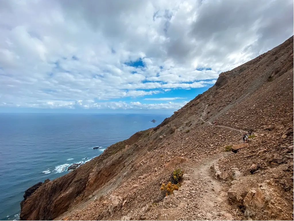
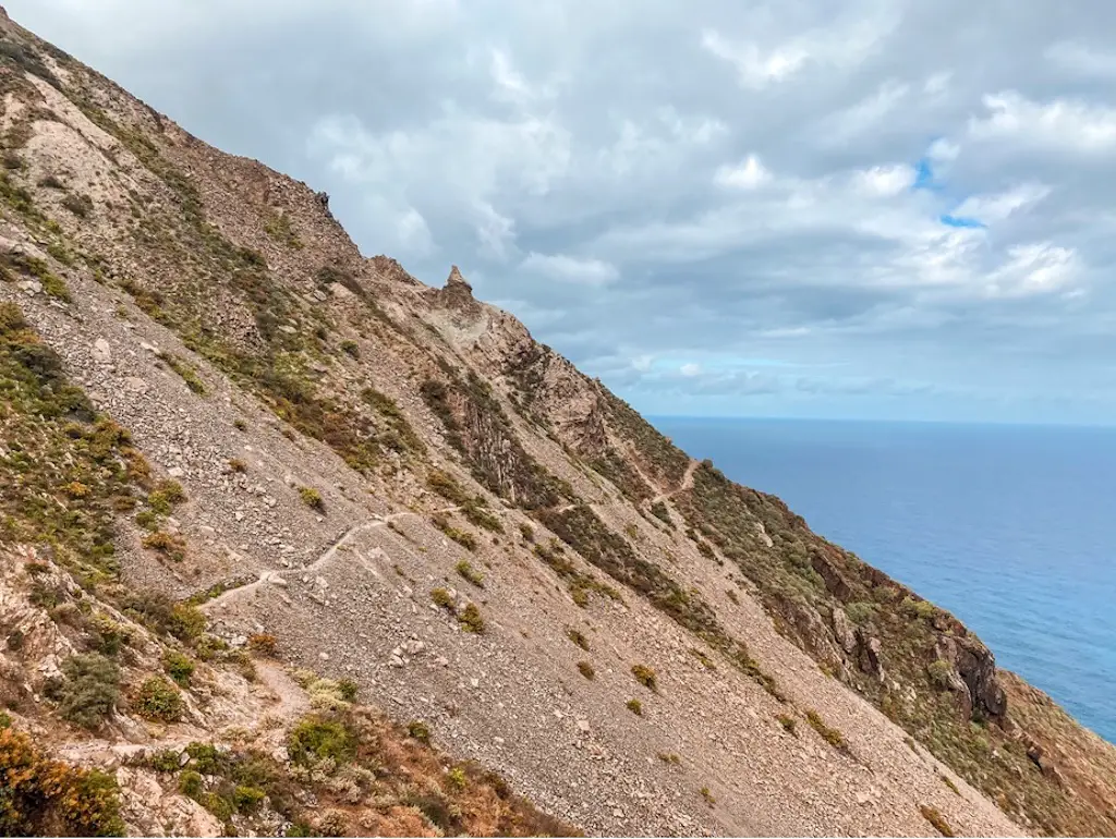
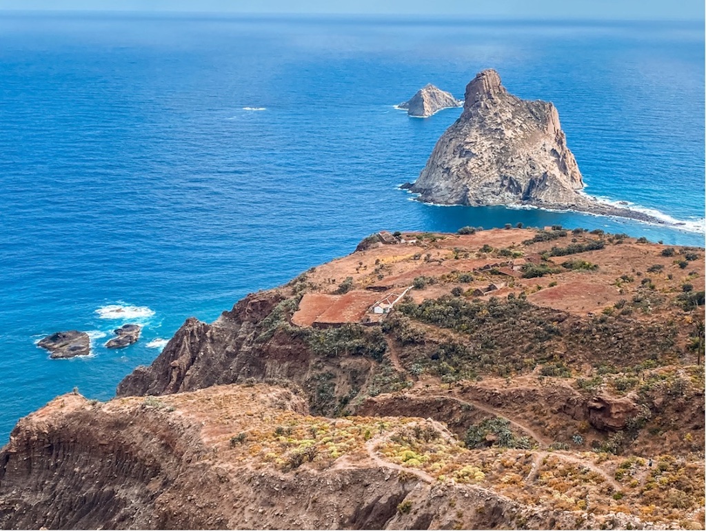
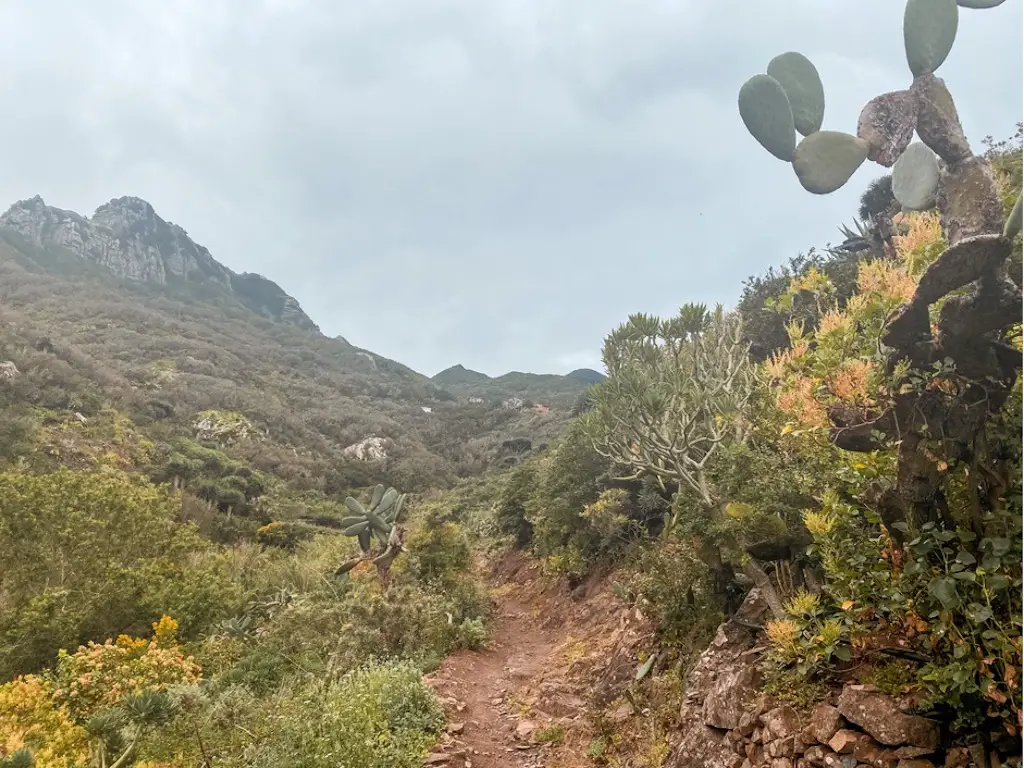
To continue the trail, I had to cross the bridge (there was a sign saying the trail was closed, but I didn’t find it to be dangerous. If that’s no longer the case, please let me know in the comments so I can update the information for everyone). The trail here gets very dry and sunny, so it’s best to take your time and not rush. Enjoy the views of the northern coast of Tenerife and the Anaga national park as you make your way towards the famous Roques de Anaga.
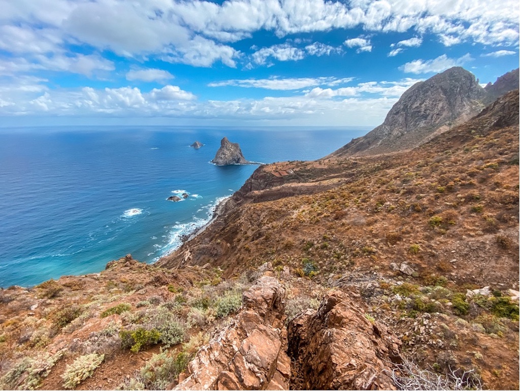
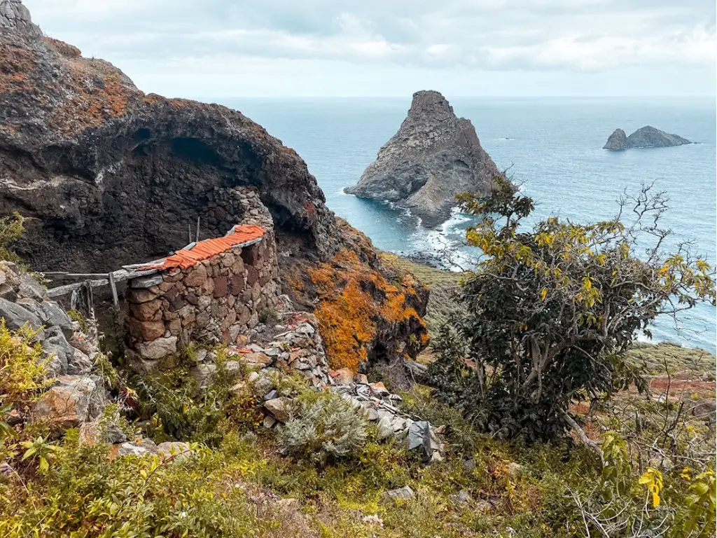
The Roques de Anaga are two monolithic rocks that are natural monuments of Tenerife. Roque de Tierra standing at 179 metres above sea level and Roque de Fuera is at 66 metres above sea level. These rocks are part of the EU’s Natura 2000 Ecological network of protected areas.
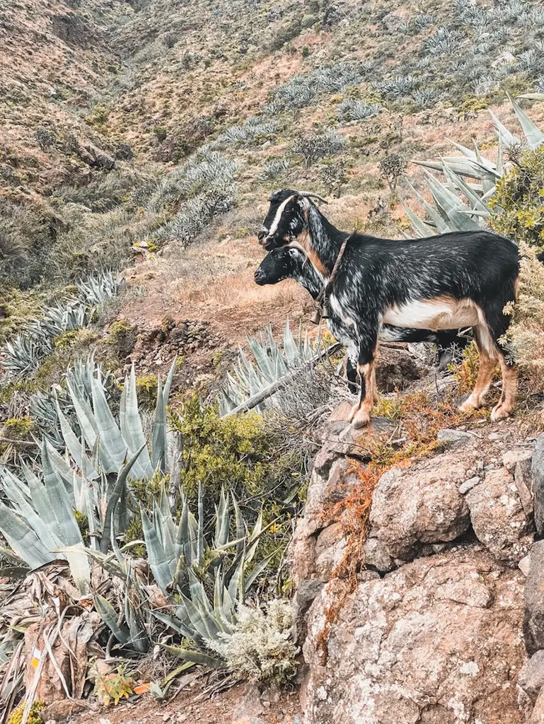
As you continue your hike, you may have the opportunity to make some new friends – mountain goats that live along the trail. Keep an eye out for a house that is built under a large rock – it may still be occupied, so it’s best to admire it from a distance. If you’re feeling adventurous, there’s a path that leads to a secluded beach nearby, where you can take a swim and enjoy some peace and quiet.
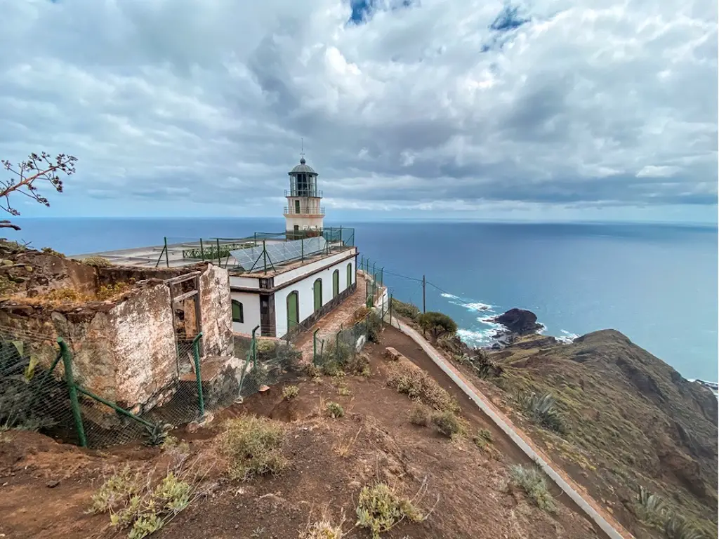
After some time I have reached the famous Faro de Anaga. This active lighthouse can’e be accessed but you can still see it through the fence as well as some beautiful coastal views of Punta de Anaga.
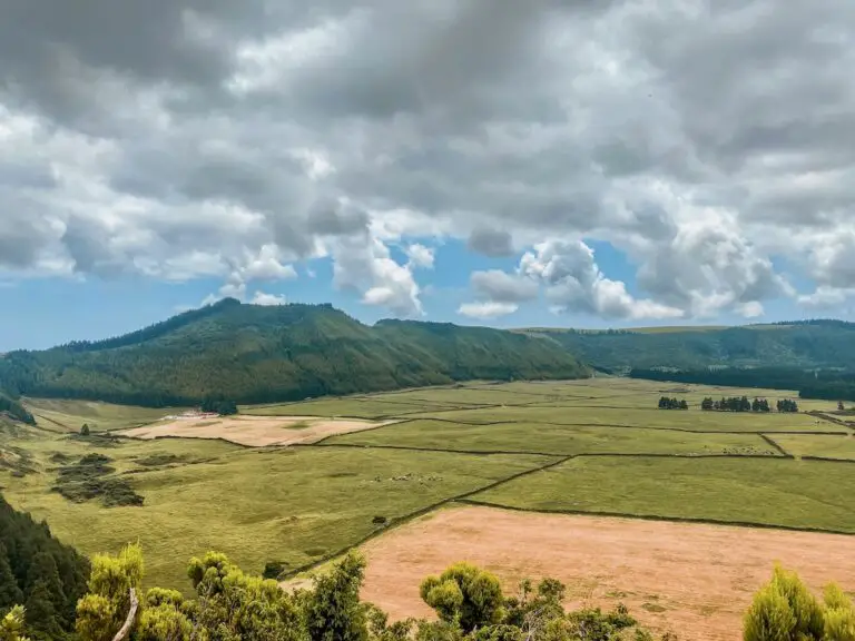
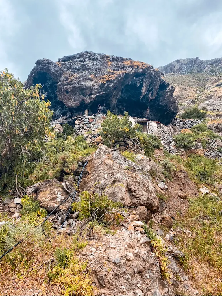
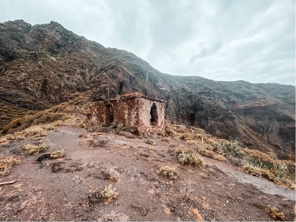
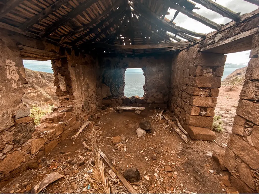
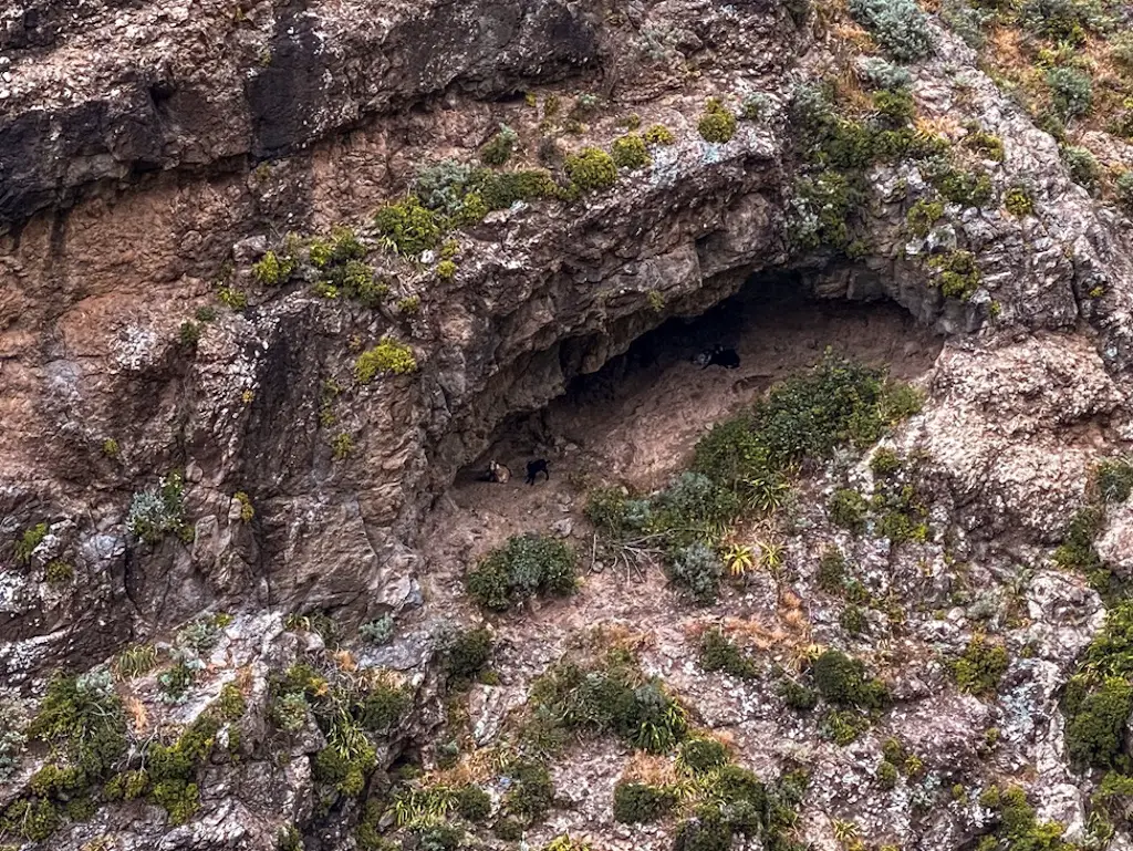
After taking in the sights at the lighthouse, it’s time to start the journey back to Chamorga. As you continue, you may pass some people who only came to see the lighthouse. But keep going, because the next part of the trail is a beautiful valley filled with high-hanging caves. Some of the mountain goats even have their cribs in these caves. Before reaching the valley, you’ll pass by the ruins of Casas Blancas. The view from here is breathtaking, and it’s easy to imagine how nice it would be to have a house in this location.
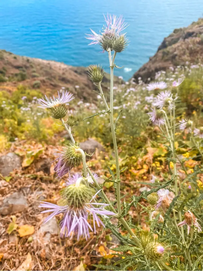
watch out for these, their spikes can be very annoying
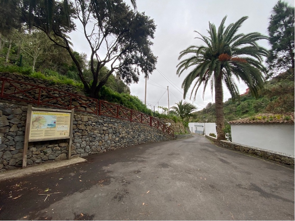
After hiking a few kilometers uphill, you’ll start to see signs of civilization. You may pass some people heading in the opposite direction, who will likely look at you with a mix of admiration and concern as they realise they’ll have to climb the same hill on their way back. Keep climbing and you’ll eventually see the first houses, and finally the beautiful Chamorga village.
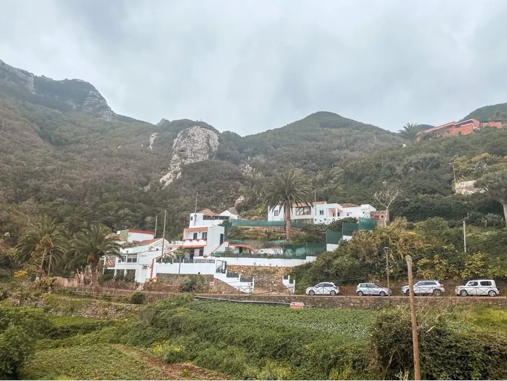
If you’re feeling like you need a coffee or a sweet treat after your hike, you may be in luck – there’s a bar in Chamorga called “Casa Álvaro,” but its hours of operation are a bit of a mystery. When I finished my hike, it was unfortunately closed. Hopefully you’ll have better luck and be able to enjoy a hot cup of coffee to reward yourself for a job well done.
I hope this guide has been helpful. If you have any questions, don’t be shy to leave a comment below. Happy and safe hiking!
HAVE YOU SEEN MY OTHER HIKING GUIDES FOR TENERIFE?
I lived and worked in Tenerife for three months, hiking nearly every day. I’ve explored over 70 trails to bring you an ultimate guide – highlighting the Top 30 Best Hikes in Tenerife. Each guide has a detailed description including the distance, difficulty, gear needed and everything else needed to complete the hike successfully. If you happen to notice any changes on the trail that should be updated – please drop the comment below so I can keep this guide up to date.
If you prefer easier hikes that can be completed under 3 hours, check out Top 12 Short Hikes in Tenerife guide.
Safe and happy hiking my friend!