PUNTA DE TENO HIKE – CHALLENGING LOOP FAR FROM THE CROWDS
Punta de Teno hike is one the most memorable hiking adventures I had in Tenerife. This very challenging, but rewarding trail has everything Teno Mountans have to offer: beautiful gorges, challenging descents, strenuous ascents, some scrambling, unforgettable coastal walks and the famous Punta de Teno lighthouse. This guide is an alternative to the boring trail that forces people to walk on the road, however it will require much more effort and is only recommended for fit and experienced hikers.
PUNTA DE TENO HIKE FACTS
Distance: The total distance was 20,5km for a loop trail.
Hike duration: This hike’s duration was 6,45h.
Elevation gain: The total elevation gain for this hike was 1015m.
Difficulty: This hike is hard. Apart from the distance and elevation gain, this route should be attempted only by experienced hikers. There are couple of dangerous descents where the ground is slippery and the path isn’t always visible, the last descent towards the coast is pretty hardcore too. The way back isn’t easy either, the path involves some scrambling and good navigation skills since not many people walk there.
Gear needed: Shoes with proper grip, no running shoes. Sun protection, a windbreaker and plenty of water and snacks as this might be a full day adventure. If you’re unsure on what else to bring for a hike, read this guide.
My Strava map upload + GPS file: TENO ALTO HIKE
GETTING TO PUNTA DE TENO HIKE
The trailhead for this adventure is in Teno Alto, a charming town famous for its goat cheese that I got to try while hiking Sendero de Baracan. The best way to get to Teno Alto is by car, whether you’re in the south or the north, the drive shouldn’t take more than 1h (from Puerto de La Cruz or Los Cristianos).
By car: We parked our car at Pista las Cuevas street, google pin here.
MY EXPERIENCE HIKING PUNTA DE TENO
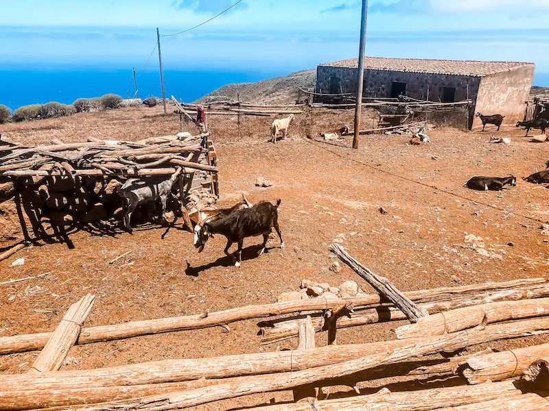
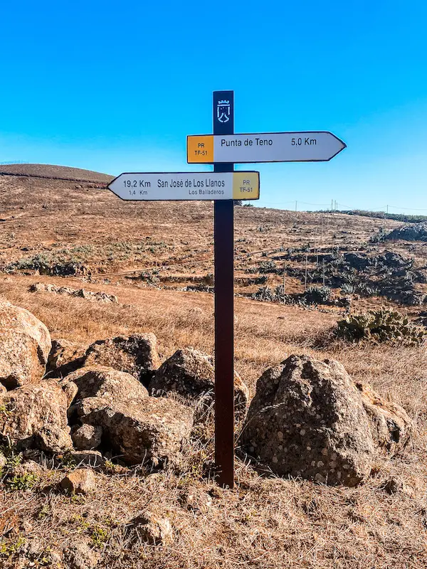
I did Punta de Teno hike together with a friend in June. I was trying to come up with the most interesting trail for us, where the main objective was to make it a loop trail so we could see as much as possible. Initially, we weren’t even planning to walk over 20 kilometres but I will try to convince you in this guide that it was worth it! This adventure starts in Teno Alto, and follows the trail PR-TF 51. The first hundreds of metres we just descended on a little road until we reached a little farm with dozens of goats.
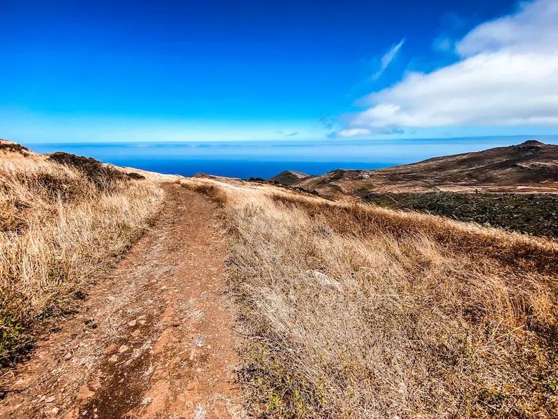
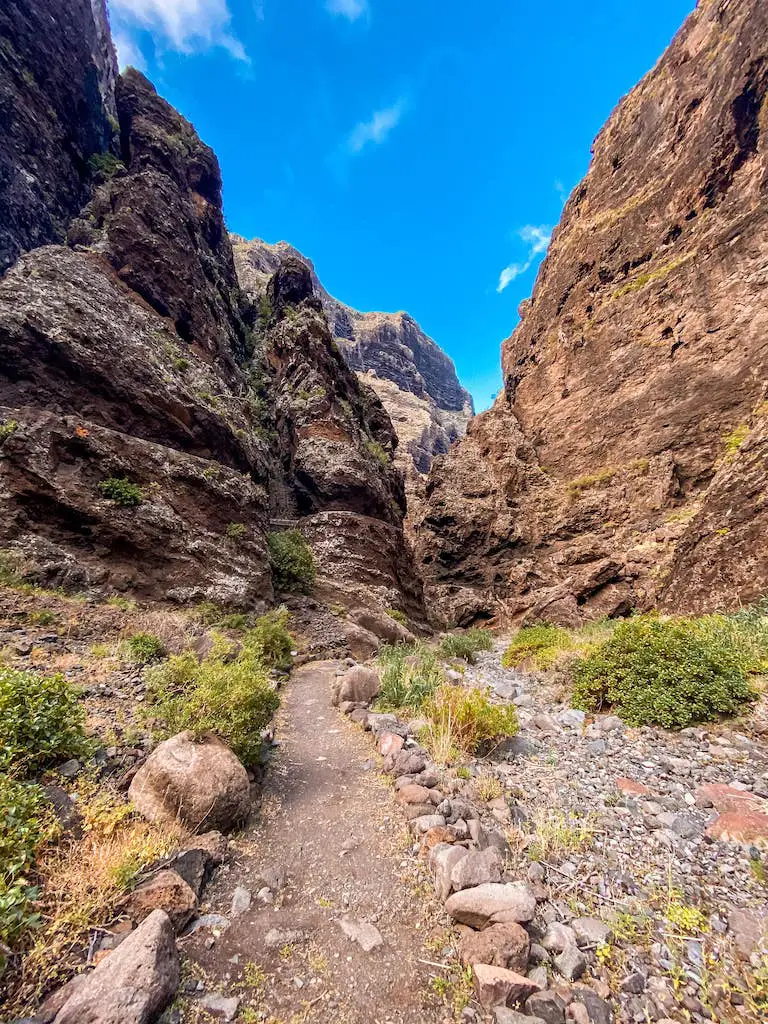
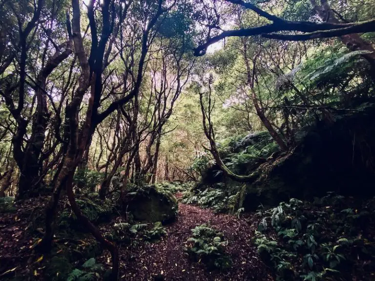
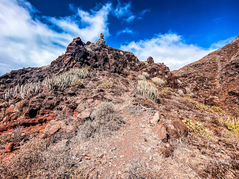
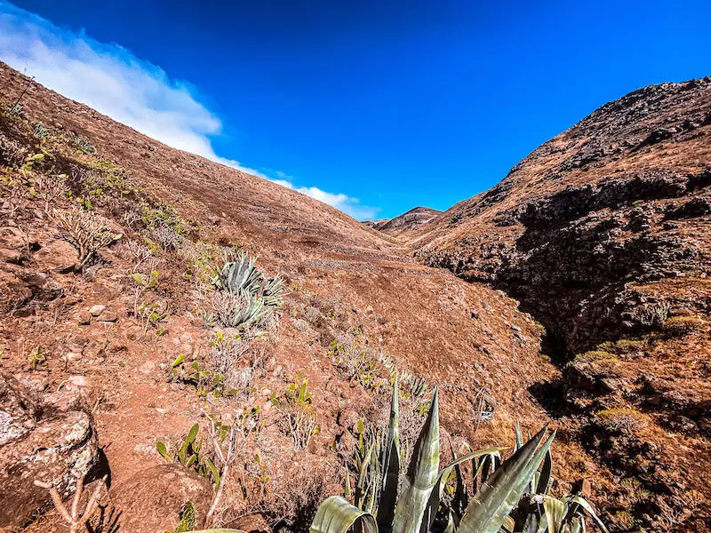
From there, the journey goes along a beautiful gorge – Barranco de Las Cuevas. The trial is well marked and it should be easy to follow.
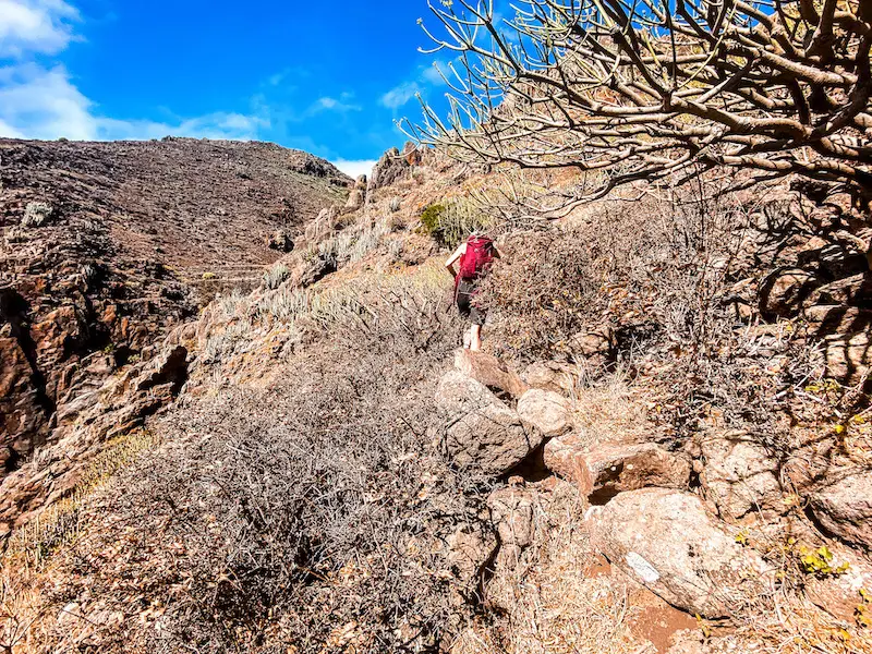
At this section, we began our first steep descent. This area is very dry, slippery and can be challenging so its extremely important to wear shoes with good grip and be sure footed. The trail will zig-zag its way down until reaching the old plantations.
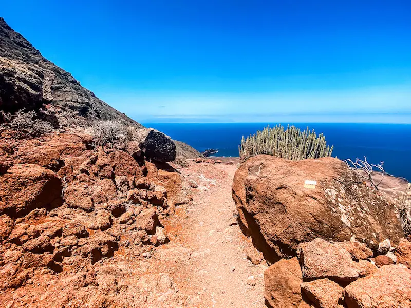
CRAZY DESCENT + COASTAL WALK
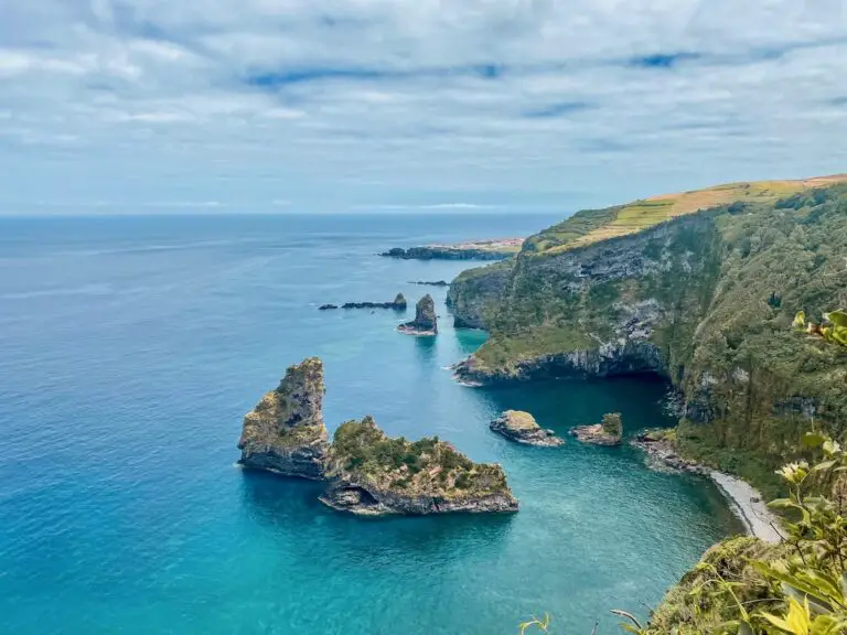
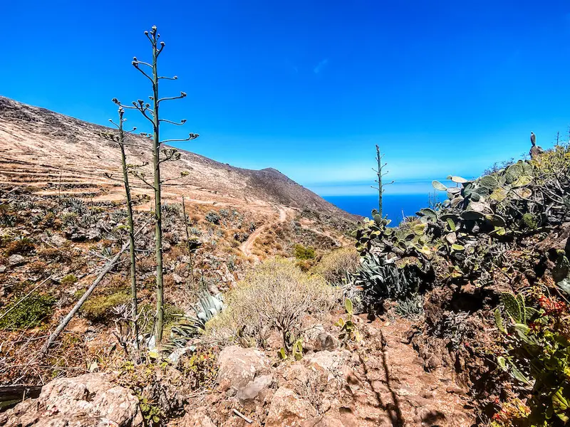
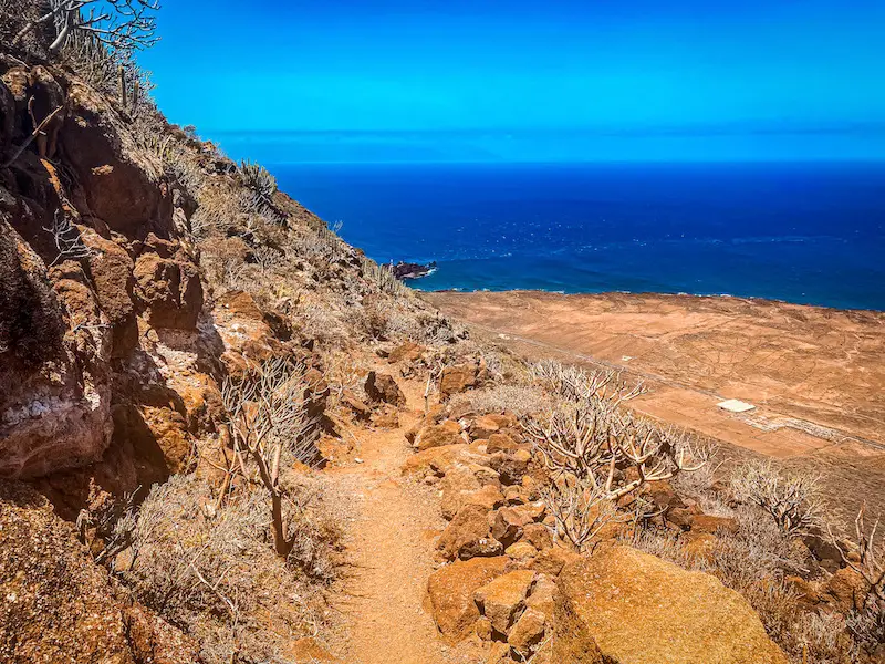
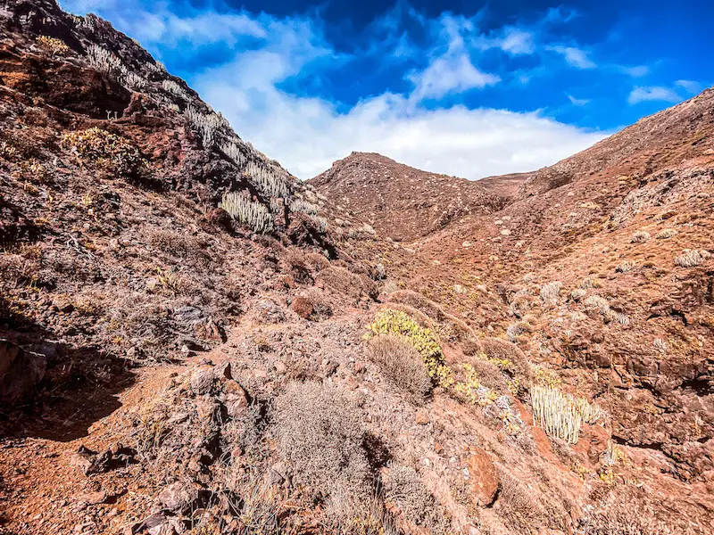
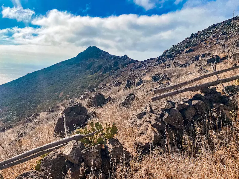
On the nearest fork you have two choices: turning right towards Punta de Teno, where part of the trail goes along the road or continue straight in direction of Los Gigantes. We opted for the second option, making our way up to the hill to appreciate some spectacular views of Los Gigantes. Here’s where the hardcore part comes to play. To get down to the coast, you have to descent down the slippery path marked by other hikers. Caution there! I slipped there myself placing my foot on a wrong stone.
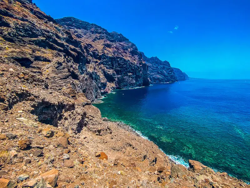
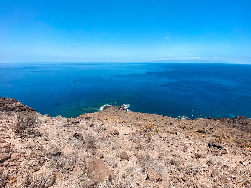
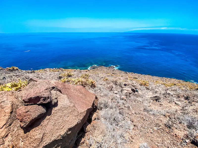
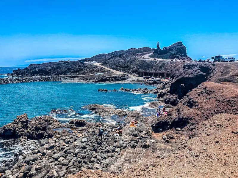
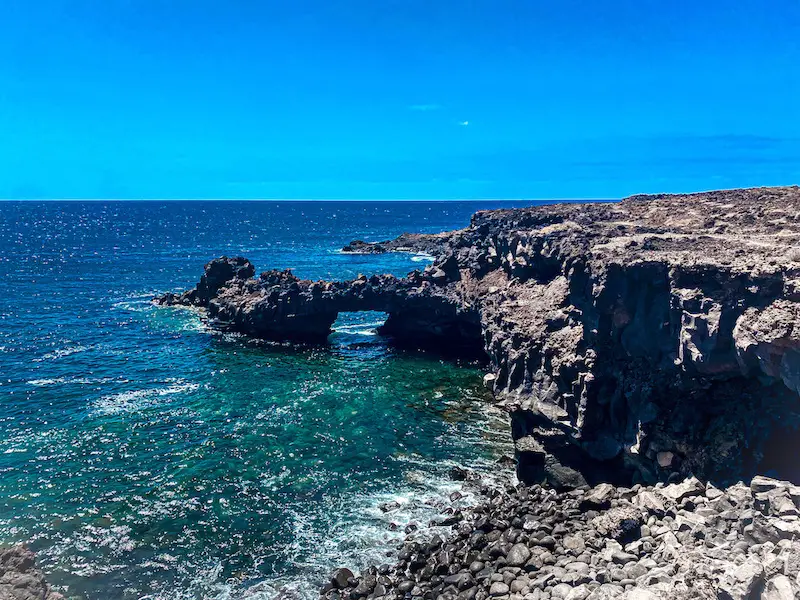
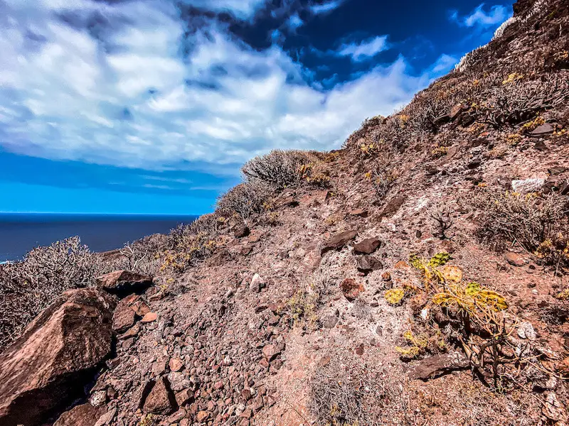
Once we made our way down, we began one of the most beautiful cliff walks that can be found in Tenerife. Although not as high as Los Gigantes, those cliffs are offering some awesome views and the whole path towards the lighthouse was super scenic. We passed by plenty of amateur fishers and other people chilling just below the cliffs. Such a beautiful spot!
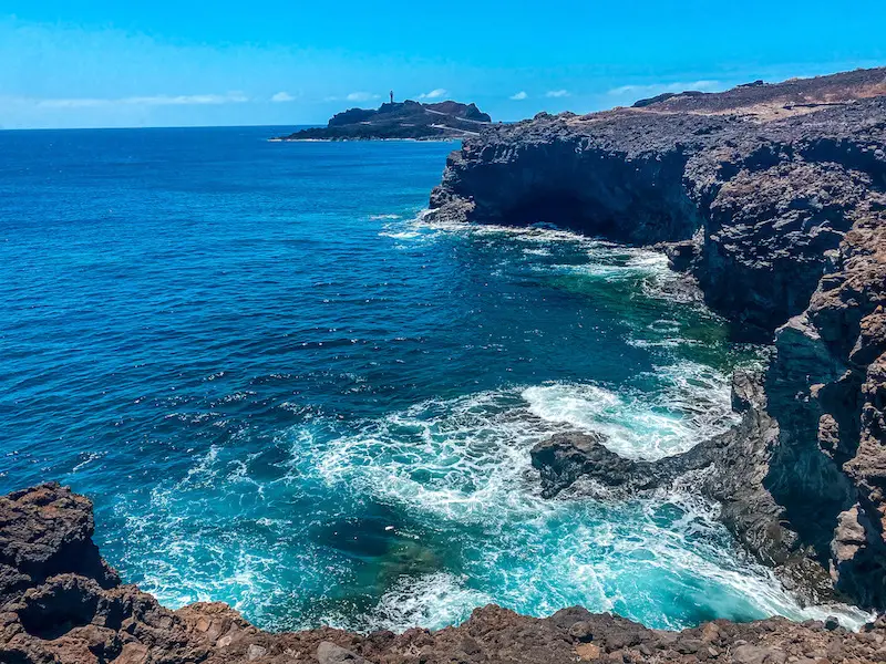

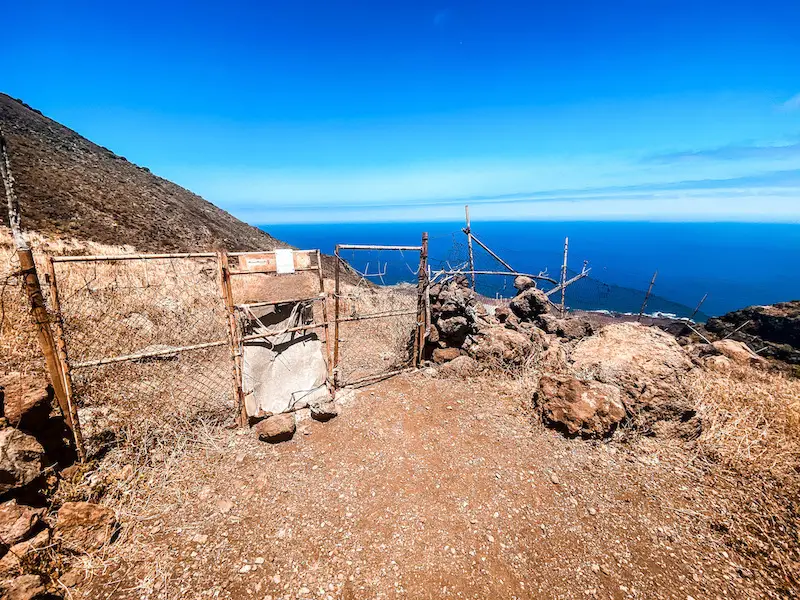
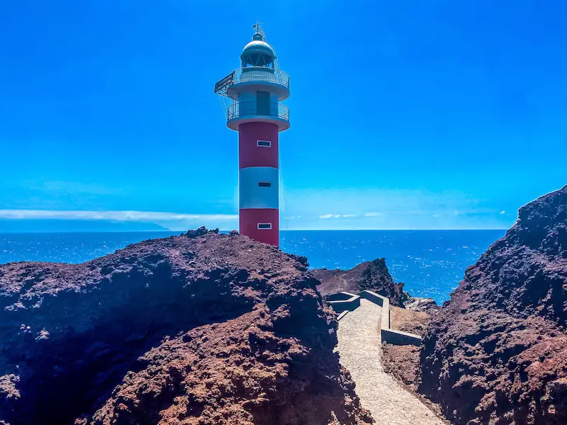
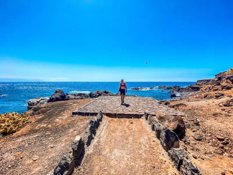
After about 30 minutes later we reached Punta de Teno. The area around the lighthouse is closed which is kinda sad. It is possible to climb the rocks you see on the picture if you want to get a better shot of the lighthouse. We didn’t spend too much time there and decided to continue our journey, which would now lead along the coast.
PS Right before Teno (as on a picture above) there’s a cool beach to rest and have a quick, refreshing dip in the water. Strongly recommended as the return will take a few hours!
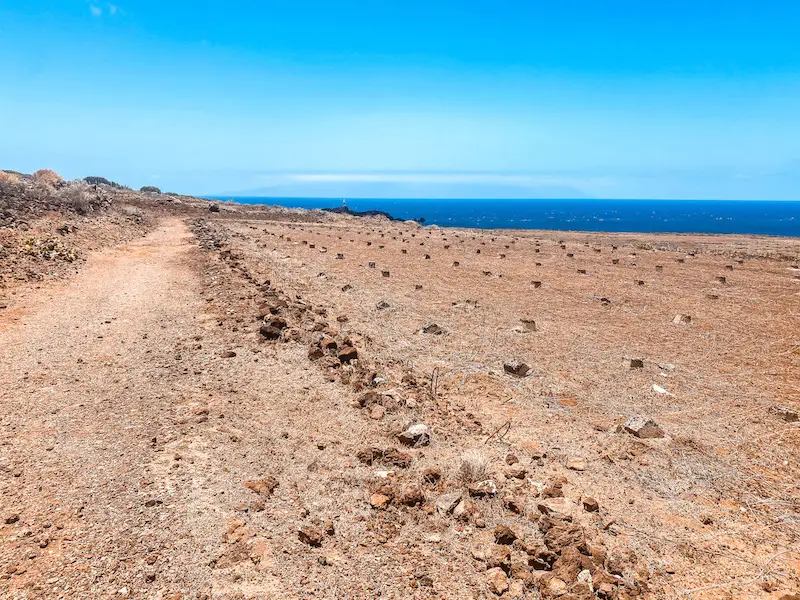
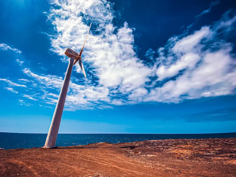
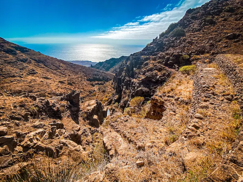
The trail might not be always visible but as long as you keep close to the coast you’ll be fine. We followed those paths until we reached the windmills, appreciating the ocean breeze throughout our way.
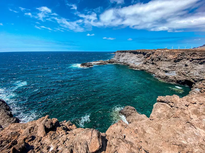
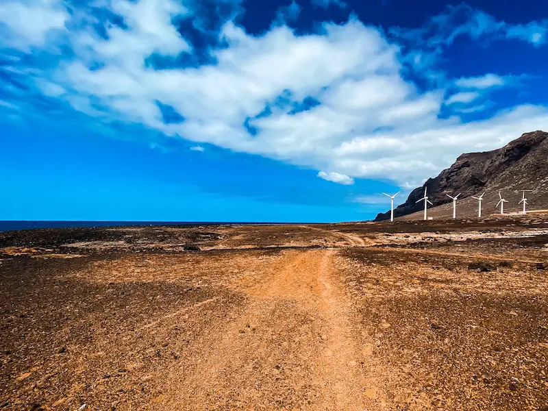
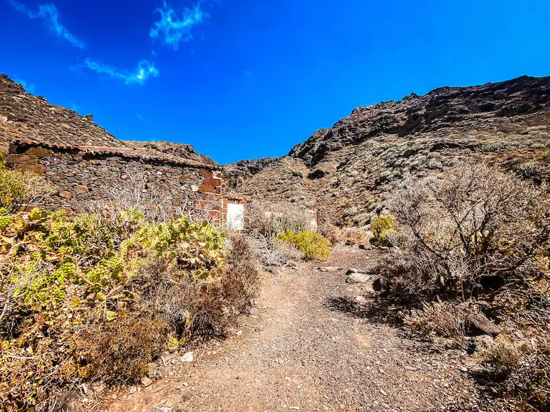
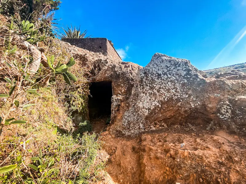
Once we arrived to windmills, the trail then makes a right turn and leads in between green houses or whatever those installations are 😀 and leads towards the road. Crossing the road, we found an old house ruins. That’s where the challenge begins.
RETURN
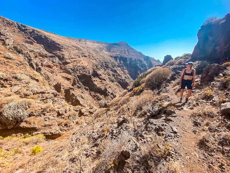
This first part of this climb is steep, dry and slippery. It takes around 20 minutes to climb the first hill and reach the top of Barranco de Sobaquera. Make sure you distribute your water well, there’s still quite a way to go 😉
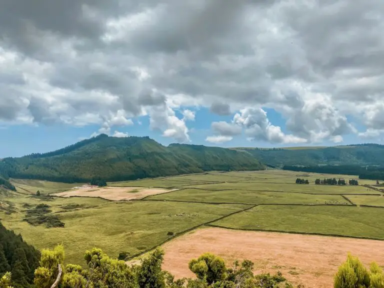
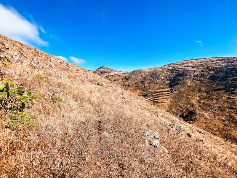
This section of Punta de Teno hike goes along Barranco de la Sobaquera. This trail is full of mountain goats and is barely visible. It follows the river bed of the ravine and is hard to navigate without GPS. It is easy to lose the track since this path is hardly used by anyone and the vegetation has eaten it but for the views alone it is worth the visit.
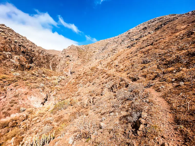
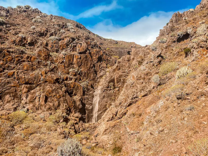
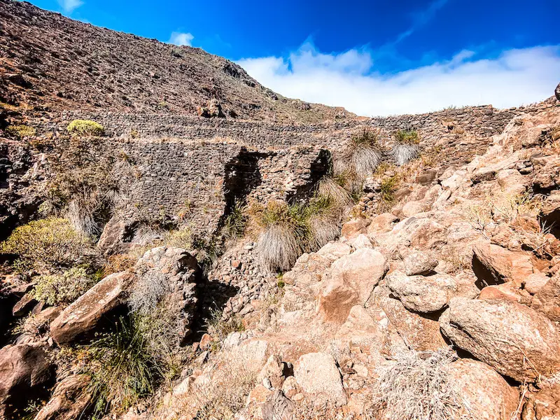
This trail has everything you could ask for in Teno Mountains. There are gorges, waterfalls and even a huge dam. In rainy seasons it must look spectacular. We hiked it in late June and sadly it was all dried out. At the end of the dam, you actually have to climb and walk along its ridge, exciting isn’t it?
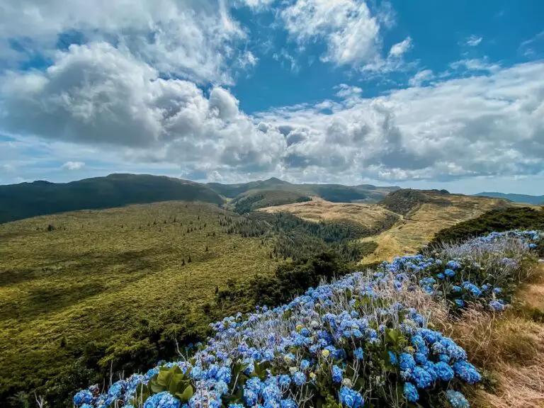
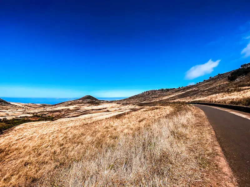
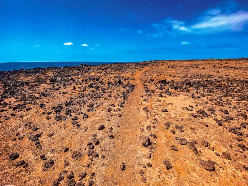
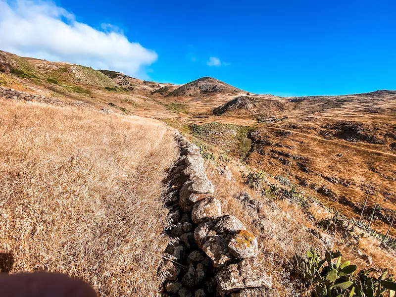
Once we were on the top of the water dam, the trail continues the remains of the lake. From there we continued our climb towards the direction of Teno Alto. At some point, the path goes along what we thought were farms, there are couple of wooden fences to pass, nothing should be closed though. The trail there is almost invisible, keep checking your GPS from time to time.
The last part of the trail is quite long. The total distance from the dam to Teno Alto is around 3 kilometres. Majority of the trail will go through different farms or plantations and is flat so your feet can finally rest. After about 1,5h we arrived to the end of the trail. We had to pass by a private property to reach a village road, on which we would walk towards Teno Alto for next 1,5km. Voila!
CONCLUSION
This Teno Alto hike was truly epic. I loved the challenging descents, demanding scrambles on the way back and obviously the coastal walk which was one of the highlights. This is a very strenuous adventure that can be either hated or loved. Make sure to stop at some nice restaurant on the way back, you deserved it 😀
If you enjoy challenging hikes, here are couple of recommendations: Sendero de Baracan – another nice route in Teno Mountains, Punta del Hidalgo/Chinamada/Batan – an old linen trail, my personal favourite in Tenerife, Epic Los Gigantes hardcore trail and these two giants: Teide & Pico Viejo.
HAVE YOU SEEN MY OTHER HIKING GUIDES FOR TENERIFE?
I lived and worked in Tenerife for three months, hiking nearly every day. I’ve explored over 70 trails to bring you an ultimate guide – highlighting the Top 30 Best Hikes in Tenerife. Each guide has a detailed description including the distance, difficulty, gear needed and everything else needed to complete the hike successfully. If you happen to notice any changes on the trail that should be updated – please drop the comment below so I can keep this guide up to date.
If you prefer easier hikes that can be completed under 3 hours, check out Top 12 Short Hikes in Tenerife guide.
Safe and happy hiking my friend!